2026-02-20T23:00:00-07:00
* WHAT...Snow expected. Total snow accumulations between 6 and 12 inches. Winds gusting as high as 45 mph. * WHERE...In Colorado, Southwest San Juan Mountains and Uncompahgre Plateau and Dallas Divide. In Utah, La Sal and Abajo Mountains generally above 6500 ft. * WHEN...Until 11 PM MST Friday. * IMPACTS...Travel could be very difficult to impossible. The hazardous conditions could impact the Friday morning and evening commutes. Gusty winds could bring down tree branches.
Summary
The ideal streamflow range for this river run is between 300-800 cfs, with the best conditions occurring in May and June. The class rating for this river is Class III-IV, which means it has moderate to difficult rapids with high waves and obstacles that require precise maneuvering.
The segment mileage for this river run is approximately 9 miles, starting at the headwaters and ending at the confluence with Los Pinos. The most notable rapids and obstacles on this run include the Rincon La Osa, a Class IV rapid with large waves and a tight chute, as well as the Pinball rapid, which features a series of boulders and drops that require quick navigation.
Specific regulations for this area include obtaining a permit from the San Juan National Forest office, wearing appropriate personal flotation devices, and following Leave No Trace principles to minimize impact on the environment. It is also important to note that this river run is not recommended for inexperienced paddlers due to the challenging rapids and obstacles.
°F
°F
mph
Wind
%
Humidity
15-Day Weather Outlook
River Run Details
| Last Updated | 2025-11-13 |
| River Levels | 1320 cfs (4.08 ft) |
| Percent of Normal | 100% |
| Status | |
| Class Level | iii-iv |
| Elevation | ft |
| Streamflow Discharge | cfs |
| Gauge Height | ft |
| Reporting Streamgage | USGS 08213500 |
5-Day Hourly Forecast Detail
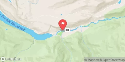
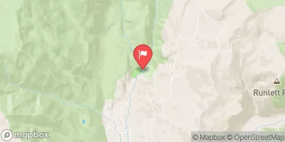
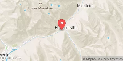
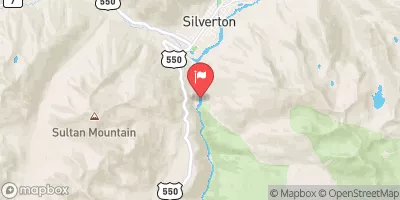
Nearby Streamflow Levels
Area Campgrounds
| Location | Reservations | Toilets |
|---|---|---|
 Lost Trail
|
||
 Thirtymile
|
||
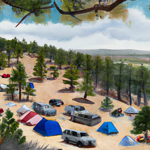 Thirty Mile Campground
|
||
 River Hill Campground
|
||
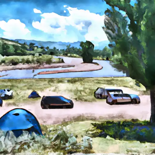 River Hill
|
River Runs
-
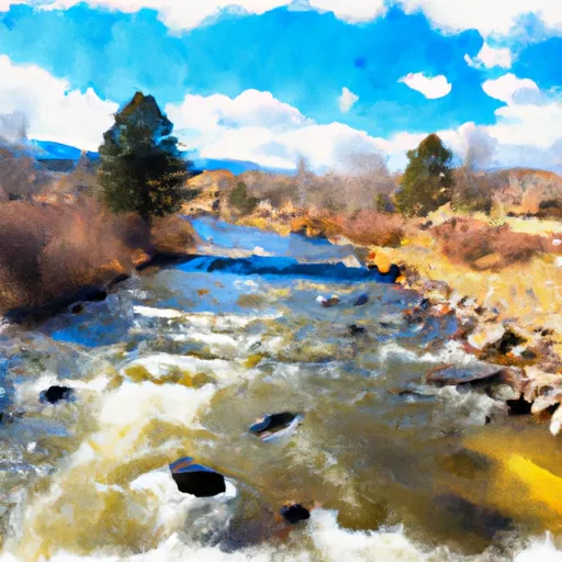 Rincon La Osa--Headwaters To Confluence With Los Pinos
-
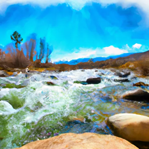 Rincon La Vaca--Headwaters To Confluence With Los Pinos
-
 Sierra Vandera--Headwaters To Confluence With Los Pinos
-
 Snowslide Canyon Creek--Headwaters To Confluence With Los Pinos
-
 Flint Creek--Headwaters To Confluence With Los Pinos
-
 Lake Creek--Headwaters To Confluence With Los Pinos


