2026-02-20T23:00:00-07:00
* WHAT...Snow expected. Total snow accumulations between 6 and 12 inches. Winds gusting as high as 45 mph. * WHERE...In Colorado, Southwest San Juan Mountains and Uncompahgre Plateau and Dallas Divide. In Utah, La Sal and Abajo Mountains generally above 6500 ft. * WHEN...Until 11 PM MST this evening. * IMPACTS...Travel could be very difficult to impossible. The hazardous conditions could impact the Friday morning and evening commutes. Gusty winds could bring down tree branches.
Summary
The ideal streamflow range for this segment is between 300-800 cubic feet per second (cfs), which typically occurs during the spring snowmelt or after heavy rainfall.
This segment is classified as Class III-IV, with a total distance of 7.5 miles. It boasts a variety of rapids, including "Stovepipe," "Deadly D," and "The Maze." These rapids offer a thrilling experience for experienced paddlers.
There are no specific regulations for this area, but it is always important to practice Leave No Trace principles and respect private property boundaries along the river. It is recommended to check the water levels before embarking on this run and to wear appropriate safety gear, including a helmet and personal flotation device.
Overall, the Tabeguache Creek Segment 1 is a challenging and rewarding whitewater river run for experienced paddlers looking for a thrilling adventure in the beautiful Colorado wilderness.
°F
°F
mph
Wind
%
Humidity
15-Day Weather Outlook
River Run Details
| Last Updated | 2025-06-28 |
| River Levels | 1070 cfs (4.15 ft) |
| Percent of Normal | 49% |
| Status | |
| Class Level | iii-iv |
| Elevation | ft |
| Streamflow Discharge | cfs |
| Gauge Height | ft |
| Reporting Streamgage | USGS 09174600 |
5-Day Hourly Forecast Detail
Nearby Streamflow Levels
Area Campgrounds
| Location | Reservations | Toilets |
|---|---|---|
 Columbine Campground
|
||
 Columbine Campground - Ouray RD
|
||
 Free Campground (The Ball Park)
|
||
 Ledges Cottonwood
|
||
 Ledges Rockhouse
|


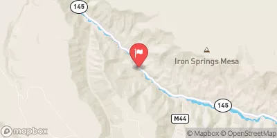
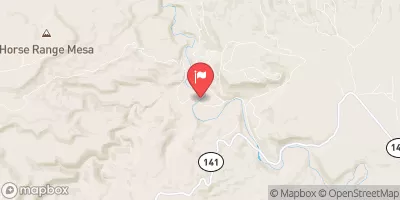
 Tabeguache Creek Segment 1
 Tabeguache Creek Segment 2
 San Miguel River Segment 5