Summary
It features continuous rapids with some technical drops and obstacles such as boulder gardens, tight chutes, and steep ledges. The ideal streamflow range for this segment is between 200-500 cfs. Higher flows can make the rapids more challenging and dangerous, while lower flows can create shallow sections and make it difficult to navigate through the obstacles.
In terms of regulations, the Roubideau Creek Segment 2 is managed by the Bureau of Land Management (BLM) and requires a permit for commercial outfitters. Additionally, all boaters must follow Leave No Trace principles and abide by BLM regulations for camping and campfire use.
Overall, the Roubideau Creek Segment 2 offers an exciting and challenging whitewater experience for experienced paddlers. It is important to closely monitor streamflow levels and adhere to BLM regulations to ensure a safe and enjoyable trip. Sources used include American Whitewater and Colorado Parks and Wildlife.
°F
°F
mph
Wind
%
Humidity
15-Day Weather Outlook
River Run Details
| Last Updated | 2025-06-28 |
| River Levels | 540 cfs (4.09 ft) |
| Percent of Normal | 53% |
| Status | |
| Class Level | iii-iv |
| Elevation | ft |
| Streamflow Discharge | cfs |
| Gauge Height | ft |
| Reporting Streamgage | USGS 09149500 |


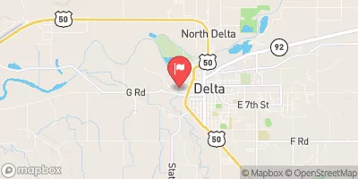
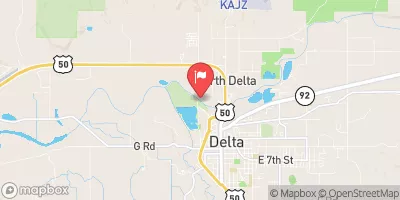
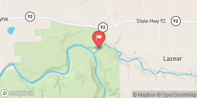
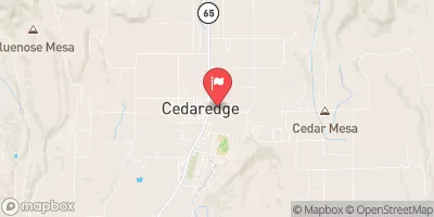
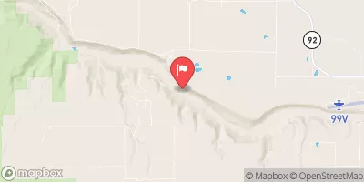
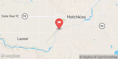
 Roubideau Creek Segment 2
 Roubideau Creek Segment 1
 Potter Creek
 Monitor Creek
 Cottonwood Creek
 Sweitzer Lake State Park
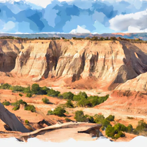 Dominguez-Escalante National Conservation Area
 Olathe Community Park
 Confluence Lake
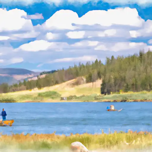 Sweitzer Lake
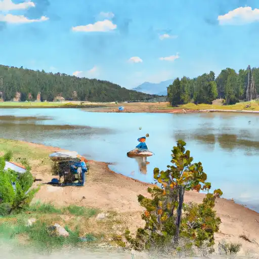 Twin Lakes Reservoir