Summary
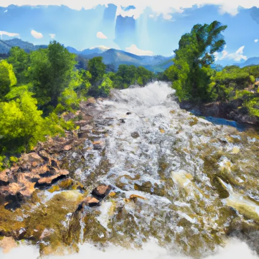
The ideal streamflow range for Skull Creek is between 100 and 300 cfs. At higher flows, the rapids become more intense, and at lower flows, the river may become too shallow in some areas.
The class rating for Skull Creek is a III, IV, and V depending on the segment of the river. The segment of the river from the put-in to the first bridge is a III, while the segment from the first bridge to the take-out is a IV-V.
The total segment mileage for Skull Creek is approximately 7.5 miles. The put-in is located near the town of Skull Creek, and the take-out is at the mouth of Skull Creek where it enters the Colorado River.
Some specific river rapids and obstacles on Skull Creek include Skull Falls, a Class V rapid with a technical entry and a steep drop, and the Narrows, a Class IV rapid with challenging maneuvers through a narrow gorge.
It is important to note that there are specific regulations in place for this area. The BLM manages the land around Skull Creek, and permits are required for commercial and private use. Additionally, there are restrictions on camping, fires, and littering to preserve the natural beauty of the area.
°F
°F
mph
Wind
%
Humidity
15-Day Weather Outlook
River Run Details
| Last Updated | 2025-06-28 |
| River Levels | 2140 cfs (4.64 ft) |
| Percent of Normal | 8% |
| Status | |
| Class Level | v-iv |
| Elevation | ft |
| Streamflow Discharge | cfs |
| Gauge Height | ft |
| Reporting Streamgage | USGS 09260000 |
5-Day Hourly Forecast Detail
Nearby Streamflow Levels
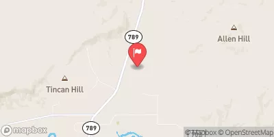
 Muddy Creek Below Young Draw
|
0cfs |
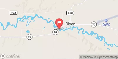
 Little Snake River Near Dixon
|
93cfs |
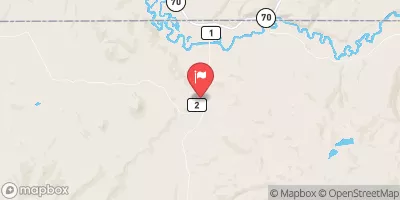
 Little Snake River Near Lily
|
86cfs |
 Slater Fork Near Slater
|
7cfs |
 Yampa River Near Maybell
|
339cfs |
 Yampa River At Deerlodge Park
|
384cfs |


 Skull Creek