
South Canyon To Riverbend (Tibbet's) Paddle Report
Last Updated: 2023-06-13
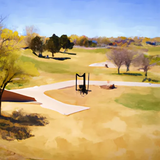
The South Canyon to Riverbend (Tibbet River Run) on the Colorado River in Colorado is a Class II-III section of water with some challenging rapids and obstacles, including boulder gardens, tight turns, and waves.
°F
°F
mph
Wind
%
Humidity
Summary
The best time to float this section is from May to August with a recommended flow of 1,500-6,000 cfs. This section is suitable for intermediate to advanced paddlers with experience in Class III rapids. It is important to scout the rapids before running them and to wear proper safety gear.
River Run Details
| Last Updated | 2023-06-13 |
| River Levels | 2290 cfs (4.45 ft) |
| Percent of Normal | 105% |
| Optimal Range | 1200-30000 cfs |
| Status | Too Low |
| Class Level | II to III |
| Elevation | 5,707 ft |
| Run Length | 3.5 Mi |
| Gradient | 15 FPM |
| Streamflow Discharge | 772 cfs |
| Gauge Height | 3.2 ft |
| Reporting Streamgage | USGS 09085100 |

Weather Forecast
Nearby Streamflow Levels
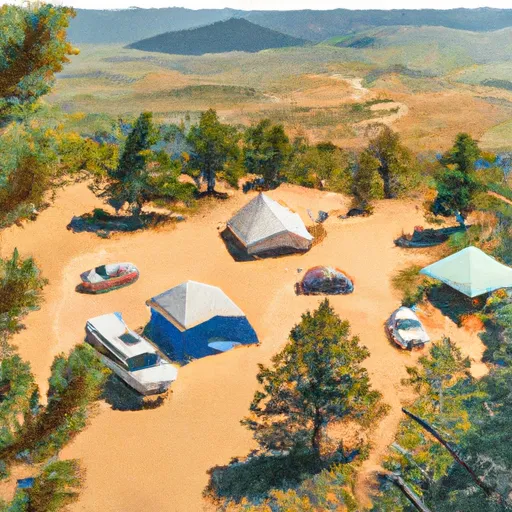
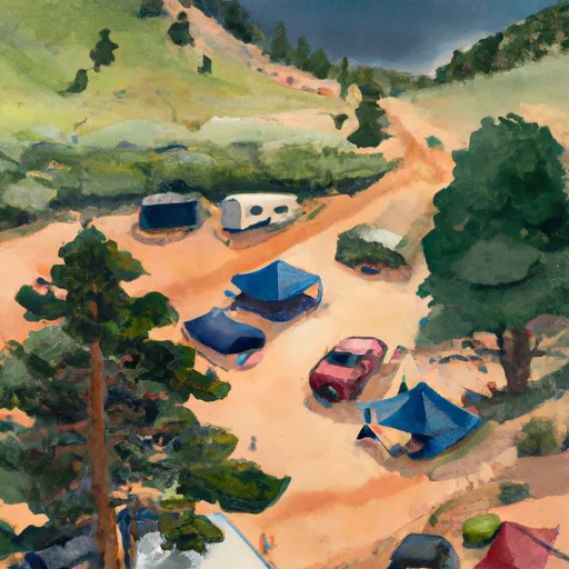
Area Campgrounds
| Location | Reservations | Toilets |
|---|---|---|
 Tiki Mine Camp
|
||
 West Elk Ridge Camp
|
||
 West Elk Area Campsite
|
 New Castle
 South Canyon Boat Ramp
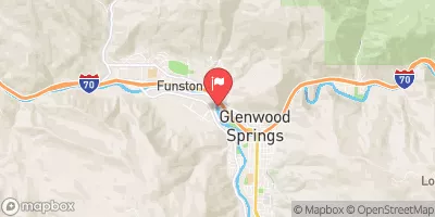
 South Canyon to Riverbend (Tibbet's)
 Riverbend (Tibbet's) to New Castle
 Two Rivers Park
 A E Axtell Park
 Hyland Park
 Harvey Gap State Park