Make an Announcement

Communicate warnings, disperse advice, and share.


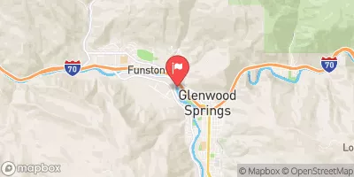
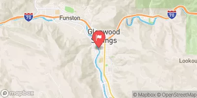
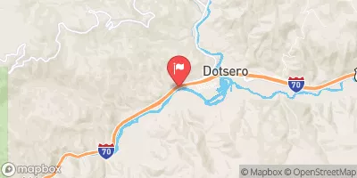
SOUTH CANYON TO RIVERBEND (TIBBET'S)

Whitewater River Run


Colorado Colorado River

South Canyon To Riverbend (Tibbet's)

Class II TO III

STREAMFLOW: 9,580 CFS

Runnable
79°, Slight Chance T-Storms

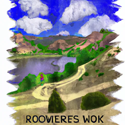
The South Canyon to Riverbend Tibbets river run on the Colorado River is a Class III-IV section with challenging rapids and several obstacles, including boulders and tight turns. The best time to float this section is from May to September with a recommended flow of 1,500 to 3,000 cfs. This run requires experienced paddlers as the rapids can be technical and require precise maneuvering. The highlight of the run is the challenging S-kick rapid, which requires careful navigation. Overall, this section of the Colorado River offers a thrilling adventure for experienced paddlers looking for a challenging run.

Weather today, A 20 percent chance of showers and thunderstorms after 11am. Mostly sunny, with a high near 79. East wind 5 to 10 mph becoming west southwest in the morning.

Status Runnable
Class Level II to III
Elevation 5,707 ft
Run Length 3.5 Mi
Gradient 15 FPM
Streamflow Discharge 9580 cfs
Gauge Height 7.2 ft
Reporting Streamgage Colorado River Below Glenwood Springs
USGS 09085100

Nearby Snowpack and Streamflow Levels

Gauge Streamflow Stage
North Fork Gunnison River Near Somerset
USGS 09132500
2,950 cfs 4.4 ft
Surface Creek At Cedaredge
USGS 09143500
251 cfs 2.3 ft
Gunnison River At Delta
USGS 09144250
5,160 cfs 5.5 ft
Hubbard Creek At Highway 133 At Mouth Nr Bowie
USGS 09132960
228 cfs 2.2 ft
Taylor River At Almont
USGS 09110000
1,020 cfs 3.3 ft
Muddy Creek At Bardine
USGS 09131500
987 cfs 6.3 ft
East River At Almont Co.
USGS 09112500
1,730 cfs 5.5 ft
Uncompahgre River At Delta
USGS 09149500
510 cfs 4.0 ft
Smith Fork Near Lazear
USGS 09129600
140 cfs 6.0 ft
Terror Creek At Mouth Near Bowie
USGS 09132995
2 cfs ft
Snotel Site Snowpack 24hr Change
Whiskey Park
SNOTEL 859
2" -1"
Webber Springs
SNOTEL 852
7" -1"
Elk River
SNOTEL 467
1" 0"
Bison Lake
SNOTEL 345
56" -2"
Schofield Pass
SNOTEL 737
39" -3"
Old Battle
SNOTEL 673
62" -2"
Ripple Creek
SNOTEL 717
36" -1"
Little Snake River
SNOTEL 1047
4" 3"
Red Mountain Pass
SNOTEL 713
27" -3"
Battle Mountain
SNOTEL 317
4" 3"
Park Reservoir
SNOTEL 682
53" -2"
North Lost Trail
SNOTEL 669
11" 1"
Butte
SNOTEL 380
31" -3"
Sandstone Rs
SNOTEL 732
1" 2"

Popular Destinations

Campground Campsites Reservations Toilets Showers Elevation
White Owl 6 10,705 ft
Bogan Flats 36 7,609 ft
Himes Peak 11 8,794 ft
East Marvine 7 8,114 ft
Vaughn Lake 6 9,474 ft
Meadow Lake 10 9,574 ft
Erickson Springs 18 6,830 ft
Deep Lake 35 10,475 ft
McClure 8 8,187 ft
Marvine 22 8,164 ft
Paonia State Park 13 6,467 ft
Rifle Mountain County Park 30 7,175 ft
Supply Basin 7 10,767 ft
Ski Area Snowpack Air Temperature 5 Day Forecast
Sunlight Mountain Resort 0" 69° 0"
River Run Streamflow Length Class
Carbondale to Westbank (Pink to Black) 3690.0cfs 7.0 Mi II
Shoshone (Power Plant to Grizzly Creek) 5020.0cfs 1.7 Mi III- to IV
Oh Be Joyful 2650.0cfs 1.0 Mi V
Pumphouse to Double Bridges 5730.0cfs 12.5 Mi I to II-
New Castle to Silt 9580.0cfs 7.6 Mi II
Crystal Mill Falls 1540.0cfs None Mi V- to V
Two Rivers to South Canyon 9580.0cfs 5.0 Mi II+ to III
Catherine Store Section 1720.0cfs 4.0 Mi II to II+
South Canyon to Riverbend (Tibbet's) 9580.0cfs 3.5 Mi II to III
Riverbend (Tibbet's) to New Castle 9580.0cfs 3.25 Mi II
Avalanche Down 1540.0cfs 12.0 Mi III
South Canyon to Riverbend (Tibbet's) 9580.0cfs 3.5 Mi II to III
Barrel Springs 5020.0cfs 4.0 Mi IV+ to V+
South Canyon to Riverbend (Tibbet's) 9580.0cfs 3.5 Mi II to III
Grizzly Creek to Two Rivers Park 5020.0cfs 6.0 Mi II to III
South Canyon to Riverbend (Tibbet's) 9580.0cfs 3.5 Mi II to III
Gunnison Gorge 2950.0cfs 14.0 Mi III to IV-
Waterfall to Confluence 1720.0cfs 1.0 Mi V-
South Canyon to Riverbend (Tibbet's) 9580.0cfs 3.5 Mi II to III
Bogan Canyon 1540.0cfs 6.85 Mi III to III+
Barrel Springs 5020.0cfs 4.0 Mi IV+ to V+
Riverbend (Tibbet's) to New Castle 9580.0cfs 3.25 Mi II
Cemetery 3690.0cfs 12.0 Mi II+ to III+
Shoshone (Power Plant to Grizzly Creek) 5020.0cfs 1.7 Mi III- to IV
Glenwood Springs Whitewater Park 9580.0cfs 0.25 Mi II to IV-

Log Your Visit

When was your last visit to South Canyon to Riverbend (Tibbet's)?

Add a Photo

How was it? How were conditions?

Rate the paddle


Submit

Leave A Review

South Canyon To Riverbend (Tibbet's)

Submit

Upload an Image

South Canyon To Riverbend (Tibbet's)
Login

Need an Account?

Forgot Your Password?

Delete User Account

Welcome to Snoflo


Continue with a free account

Already Have an Account?


Snoflo Premium

Your first week's free. Cancel anytime

Have a Promo Code?


Already Have an Account?

Signup for Basic Access


Welcome to Snoflo


Continue with a free account

Add Snoflo Premium


Already Have an Account?


Please Verify Your Account

Favorite Limit Reached
Signup for a Free Account

Already Have an Account?