The First Powerline Crossing The Ichetuckee River To The Confluence With The Santa Fe River, Down The Santa Fe River To The Suwannee River Paddle Report
Last Updated: 2026-02-07
The Whitewater River Run in Florida is a popular destination for kayakers and rafters seeking a challenging river experience.
Summary
This run encompasses the Ichetucknee River, Santa Fe River, and Suwannee River. The ideal streamflow range for this run is between 250-1500 cfs, with higher flows increasing the difficulty level.
The run is classified as Class II-IV, with significant rapids such as Devil's Ear and Rock Bluff. The segment mileage for this run is approximately 30 miles. The run begins with the first powerline crossing of the Ichetucknee River and ends at the Suwannee River.
The rapids and obstacles on this run are challenging and require advanced skills for safe navigation. The Devil's Ear rapid is known for its steep drop and powerful hydraulic, while the Rock Bluff rapid requires precise maneuvering through a series of boulder gardens.
There are specific regulations for this area, including limited access points and a requirement for a permit to launch a kayak or raft. Additionally, the use of alcohol and glass containers is prohibited on the river.
In conclusion, the Whitewater River Run in Florida offers a challenging and exciting experience for experienced kayakers and rafters. The ideal streamflow range is between 250-1500 cfs, and the run is classified as Class II-IV with specific rapids and obstacles to navigate. It is important to follow the specific regulations in the area, including obtaining a permit and avoiding the use of alcohol and glass containers.
°F
°F
mph
Wind
%
Humidity
15-Day Weather Outlook
River Run Details
| Last Updated | 2026-02-07 |
| River Levels | 287 cfs (15.08 ft) |
| Percent of Normal | 81% |
| Status | |
| Class Level | ii-iv |
| Elevation | ft |
| Run Length | 7.0 Mi |
| Streamflow Discharge | cfs |
| Gauge Height | ft |
| Reporting Streamgage | USGS 02322700 |
5-Day Hourly Forecast Detail
Nearby Streamflow Levels
 Ichetucknee R @ Hwy27 Nr Hildreth
|
251cfs |
 Santa Fe River Nr Hildreth Fla
|
1210cfs |
 Santa Fe River Near Fort White
|
679cfs |
 Suwannee River At Branford
|
2560cfs |
 Suwannee River Near Bell
|
3020cfs |
 Santa Fe River At River Rise Nr High Springs
|
74cfs |
River Runs
-
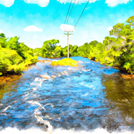 The First Powerline Crossing The Ichetuckee River To The Confluence With The Santa Fe River, Down The Santa Fe River To The Suwannee River
-
 Ichetucknee Headspring To The First Powerline Crossing Over Ichetucknee River
-
 The Little River Springs At River Mile 81 To The Mouth Of The River At The Gulf Of Mexico


 Highway 47 22430, Fort White
 State Park Ichetucknee Springs
 Fort White Wildlife and Environmental Area
 Deese Memorial Park
 Troy Springs Wildlife Management Area
 Poe Springs