2026-02-23T19:00:00-05:00
...CRITICALLY LOW HUMIDITY WITH GUSTY WINDS WILL RESULT IN ELEVATED FIRE DANGER... .The National Weather Service in Ruskin has issued a Fire Weather Warning for low humidity, breezy northerly winds, and moderate significant fire potential expected Sunday afternoon. The National Weather Service in Tampa Bay Ruskin has issued a Fire Weather Watch, which is in effect from Monday morning through Monday evening. * AFFECTED AREA...Pinellas, Polk, Hardee, Highlands, DeSoto, Coastal Citrus, Coastal Hernando, Coastal Pasco, Coastal Hillsborough, Coastal Manatee, Coastal Sarasota, Coastal Charlotte, Coastal Lee, Inland Pasco, Inland Hillsborough, Inland Manatee, Inland Sarasota, Inland Charlotte and Inland Lee. * TIMING...From Monday morning through Monday evening. * WINDS...Northwest 10 to 15 mph with gusts up to 25 mph. * RELATIVE HUMIDITY...As low as 21 percent. * IMPACTS...Any fire that develops will catch and spread quickly. Outdoor burning is not recommended.
Summary
The ideal streamflow range for this segment is between 200-500 cfs, though it can be run as low as 150 cfs. The class rating for this segment ranges from II to III, with some challenging rapids and obstacles to navigate.
The segment mileage for this run is approximately 4 miles, starting at the County Road 780 Bridge and finishing at the State Road 72 Bridge. Along the way, paddlers will encounter several notable rapids, including "The S Turn," "The Waterfall," and "The Gator Hole." These rapids vary in difficulty and require precise navigation to successfully maneuver.
Specific regulations for this area include a requirement for all paddlers to wear a personal flotation device and to have a whistle on hand at all times. Additionally, camping is not permitted along the riverbanks, and visitors are expected to adhere to the "leave no trace" principles of outdoor recreation.
°F
°F
mph
Wind
%
Humidity
15-Day Weather Outlook
River Run Details
| Last Updated | 2026-02-07 |
| River Levels | 3 cfs (11.18 ft) |
| Percent of Normal | 17% |
| Status | |
| Class Level | None |
| Elevation | ft |
| Run Length | 9.0 Mi |
| Streamflow Discharge | cfs |
| Gauge Height | ft |
| Reporting Streamgage | USGS 02298760 |
5-Day Hourly Forecast Detail
Nearby Streamflow Levels
Area Campgrounds
| Location | Reservations | Toilets |
|---|---|---|
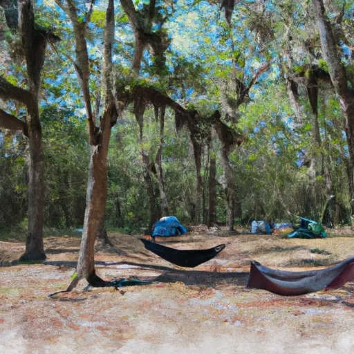 Mossy Hammock
|
||
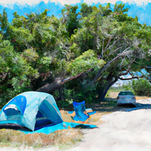 Bee Island
|
||
 OP36
OP36
|
||
 OP35
OP35
|
||
 OP37
OP37
|
||
 OP34
OP34
|
River Runs
-
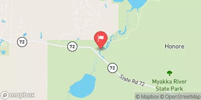
 County Road 780 Bridge To State Road 72 Bridge
-
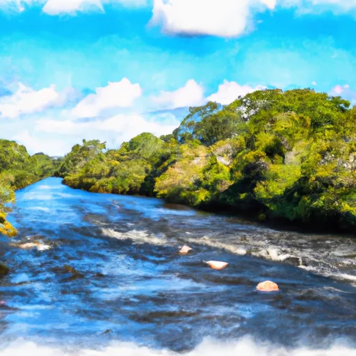 Begins Downstream Of The State Road 72 Bridge To The Southern Boundary Of Myakka River State Park
-
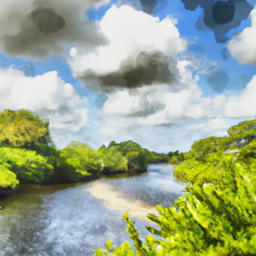 The Southern Boundary Of The Myakka River State Park To Ends Approximately At River Mile 23 Where Riverfront Residential Development Begins
-
 Approximately At River Mile 23 Where Riverfront Residential Development Begins To The Vicinity Of Snook Haven Fish Camp At Approximately River Mile 18



 Country Club East Park
 Maxfield Park
 Lake Manatee State Park
 T. Mabry Carlton, Jr. Memorial Reserve