Summary
The ideal streamflow range for the run is between 200 and 800 cubic feet per second (cfs) depending on the skill level of the paddler. The river has been rated as a class II-III and is suitable for intermediate to advanced paddlers. The segment mileage of the run is approximately 4.8 miles. The river features several rapids and obstacles including "The Elevator," "The Chute," and "The Drop." Paddlers are required to wear a personal flotation device (PFD) and helmets are strongly recommended. The use of alcohol or drugs is prohibited on the river and paddlers are expected to follow Leave No Trace principles to help preserve the natural environment. Permits are required for overnight camping along the river and the use of motorized watercraft is not permitted. It is important for paddlers to check the current water levels and weather conditions before embarking on their journey.
°F
°F
mph
Wind
%
Humidity
15-Day Weather Outlook
River Run Details
| Last Updated | 2026-02-07 |
| River Levels | 140 cfs (4.31 ft) |
| Percent of Normal | 4% |
| Status | |
| Class Level | ii-iii |
| Elevation | ft |
| Run Length | 6.0 Mi |
| Streamflow Discharge | cfs |
| Gauge Height | ft |
| Reporting Streamgage | USGS 02298830 |
5-Day Hourly Forecast Detail
Nearby Streamflow Levels
River Runs
-
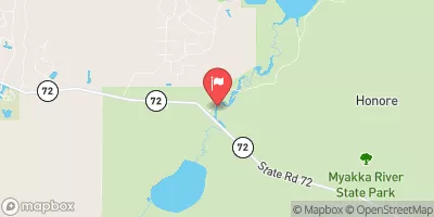
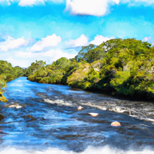 Begins Downstream Of The State Road 72 Bridge To The Southern Boundary Of Myakka River State Park
-
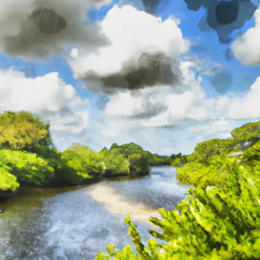 The Southern Boundary Of The Myakka River State Park To Ends Approximately At River Mile 23 Where Riverfront Residential Development Begins
-
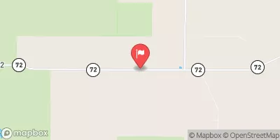
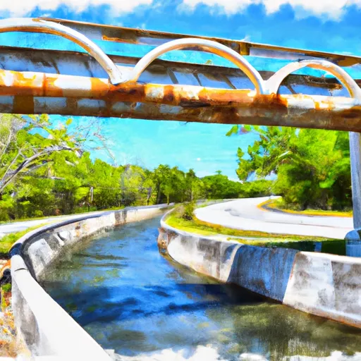 County Road 780 Bridge To State Road 72 Bridge
-
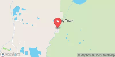
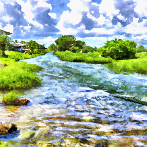 Approximately At River Mile 23 Where Riverfront Residential Development Begins To The Vicinity Of Snook Haven Fish Camp At Approximately River Mile 18
-
 Approximately River Mile 18 To A Point Just Upriver Of The Us 41 Highway Crossing



 Myakka River State Park
 OP27
OP27
 OP28
OP28
 OP29
OP29
 OP48
OP48
 OP30
OP30
 Myakka State Park Road, Sarasota
 Maxfield Park
 T. Mabry Carlton, Jr. Memorial Reserve
 Oscar Scherer State Park
 Honore Trail Park
 Colonial Oak Park