Summary
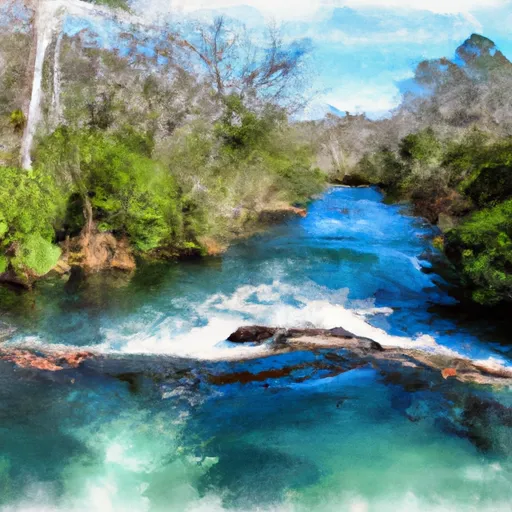
The ideal streamflow range for this run is between 300-800 cfs. The class rating for this run is Class II-III, making it perfect for intermediate paddlers. The segment mileage for this run is approximately 18 miles.
The Whitewater River Run is known for its challenging rapids and obstacles. Some of the most notable rapids on this run include Chokee Creek Rapid, Billy's Hole, and Rattlesnake Rapid. Paddlers should be prepared to navigate through tight channels, steep drops, and rocky terrain. Additionally, paddlers should be aware of the various obstacles such as trees, rocks, and strainers that can pose a danger to their safety.
Specific regulations for this area include obtaining a permit from the Okefenokee National Wildlife Refuge before embarking on the run. Additionally, all paddlers should wear personal flotation devices and have appropriate safety gear. It is also important to note that the use of alcohol and drugs is strictly prohibited in this area.
In conclusion, the Whitewater River Run from the Headwaters to the Suwannee River Sill at River Mile 238 in Georgia is a challenging and rewarding experience for intermediate paddlers. It is essential to pay close attention to the ideal streamflow range, class rating, segment mileage, specific river rapids/obstacles, and regulations to ensure a safe and enjoyable adventure.
°F
°F
mph
Wind
%
Humidity
15-Day Weather Outlook
River Run Details
| Last Updated | 2026-02-07 |
| River Levels | 107 cfs (2.07 ft) |
| Percent of Normal | 13% |
| Status | |
| Class Level | ii-iii |
| Elevation | ft |
| Run Length | 5.0 Mi |
| Streamflow Discharge | cfs |
| Gauge Height | ft |
| Reporting Streamgage | USGS 02314500 |
5-Day Hourly Forecast Detail
Nearby Streamflow Levels
 Suwannee River At Us 441
|
109cfs |
 North Prong St. Marys River At Moniac
|
1cfs |
 Satilla River Near Waycross
|
175cfs |
 Suwannee R Nr Benton Fla
|
1250cfs |
 St. Marys River Nr Macclenny
|
35cfs |
 Satilla River At Atkinson
|
241cfs |
Area Campgrounds
| Location | Reservations | Toilets |
|---|---|---|
 Stephen C. Foster State Park
|
||
 Pioneer Camping
|
||
 Mixons Hammock Campsite
|


 The Headwaters To The Suwannee River Sill At River Mile 238
 The Suwannee River Sill At River Mile 238 To The Little River Springs At River Mile 81