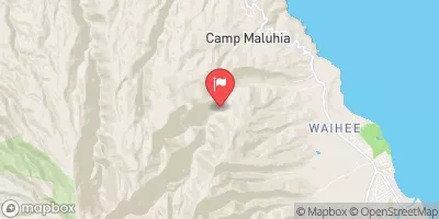
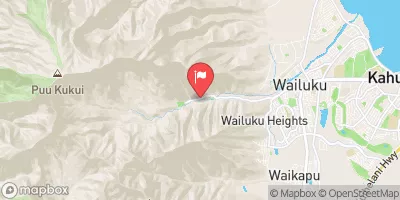
Headwaters In The Mountain Bogs Between Pepeopae And Pu’U Ali’I Just Above An Elevation Of 4,000 Feet On The Interfluve That Separates Waikolu And Pelekunu Valleys To Ends Where Pipes First Meet The River And Main Diversion Begins Paddle Report
Last Updated: 2026-02-04
The Whitewater River Run is a popular rafting destination in Hawaii, known for its challenging rapids and scenic views.
Summary
The ideal streamflow range for this river is between 100-500 cubic feet per second (cfs), which can fluctuate depending on rainfall and other factors. The river is classified as a Class III-IV, with some sections reaching Class V.
The segment mileage of the Whitewater River Run is approximately 7 miles, starting from the headwaters in the mountain bogs between Pepeopae and Pu’u Ali’i, and ending where pipes first meet the river and main diversion begins. Along the way, rafters will encounter several rapids and obstacles, including the notorious "Hole in the Wall" rapid and "Devil's Elbow" rapid.
To ensure the safety of all visitors, specific regulations apply to the area. Only experienced rafters with proper safety equipment are permitted to navigate the Whitewater River Run, and commercial tours are required to obtain permits and follow strict guidelines. Visitors are also reminded to respect the natural environment and leave no trace behind.
Overall, the Whitewater River Run is a thrilling and unforgettable adventure for seasoned rafters seeking a challenge. It is recommended to plan ahead, check streamflow conditions, and follow all safety guidelines and regulations.
°F
°F
mph
Wind
%
Humidity
15-Day Weather Outlook
River Run Details
| Last Updated | 2026-02-04 |
| River Levels | 0 cfs (3.54 ft) |
| Percent of Normal | 0% |
| Status | |
| Class Level | iii-iv |
| Elevation | ft |
| Run Length | 1.0 Mi |
| Streamflow Discharge | cfs |
| Gauge Height | ft |
| Reporting Streamgage | USGS 16414200 |
5-Day Hourly Forecast Detail
Nearby Streamflow Levels
River Runs
-
 Headwaters In The Mountain Bogs Between Pepeopae And Pu’U Ali’I Just Above An Elevation Of 4,000 Feet On The Interfluve That Separates Waikolu And Pelekunu Valleys To Ends Where Pipes First Meet The River And Main Diversion Begins
-
 Headwaters And Includes All Tributaries To Confluence With Pelekunu Stream
-
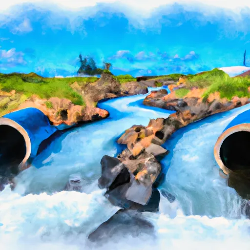 Begins Where Pipes First Meet The River And Main Diversion Begins To Mouth At Pacific Ocean
-
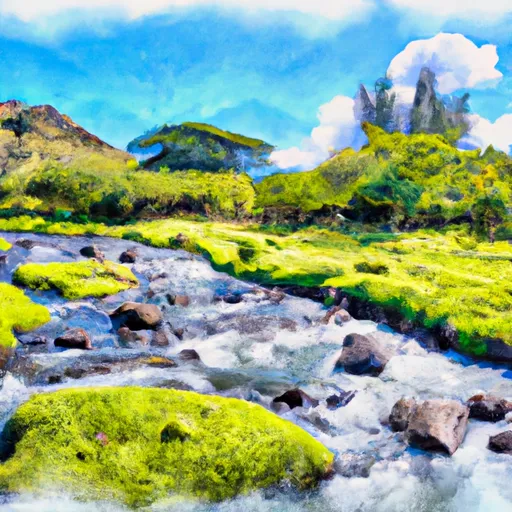 Headwaters And Includes All Tributaries To Confluence With Kapuhi Stream


