Summary
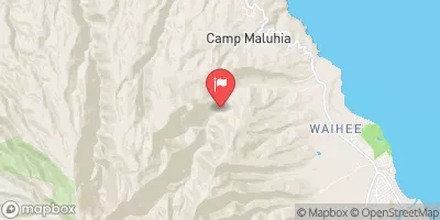
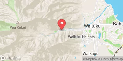
The ideal streamflow range for this river is between 50-150 cubic feet per second (cfs) with the best months for rafting being February to May. The Class rating of this river ranges from Class II to Class III, providing a moderate level of difficulty for rafters. The segment mileage of the Whitewater River run is approximately 10 miles from its headwaters to its confluence with Kapuhi Stream.
There are several notable rapids and obstacles along the river including the Rollercoaster, the Rooster Tail, and the S-Turn. The Rollercoaster is a Class III rapid that features a series of drops and waves. The Rooster Tail is a Class II rapid that requires maneuvering through a narrow channel with a sharp turn at the end. The S-Turn is a Class III rapid with two sharp turns and a series of drops.
It is important to note that there are specific regulations to the area, including the requirement of a permit to access the river. It is also mandated that all participants wear a personal flotation device and appropriate footwear. Additionally, the river is closed during times of high water flow to ensure the safety of all participants.
Overall, the Whitewater River Run is a thrilling adventure for those seeking a moderate level of whitewater rafting. Its ideal streamflow range, Class rating, segment mileage, and specific rapids/obstacles make it a popular destination for rafting enthusiasts. However, it is essential to follow all regulations and safety guidelines to ensure a safe and enjoyable experience.
°F
°F
mph
Wind
%
Humidity
15-Day Weather Outlook
River Run Details
| Last Updated | 2025-01-31 |
| River Levels | 0 cfs (3.54 ft) |
| Percent of Normal | 148% |
| Status | |
| Class Level | ii-iii |
| Elevation | ft |
| Run Length | 2.0 Mi |
| Streamflow Discharge | cfs |
| Gauge Height | ft |
| Reporting Streamgage | USGS 16414200 |
5-Day Hourly Forecast Detail
Nearby Streamflow Levels
River Runs
-
 Headwaters And Includes All Tributaries To Confluence With Kapuhi Stream
-
 Headwaters And Includes All Tributaries To Confluence With Pelekunu Stream
-
 Headwaters To Mouth At Pelekunu Bay
-
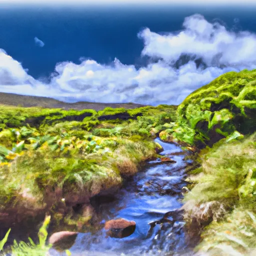 Headwaters In The Mountain Bogs Between Pepeopae And Pu’U Ali’I Just Above An Elevation Of 4,000 Feet On The Interfluve That Separates Waikolu And Pelekunu Valleys To Ends Where Pipes First Meet The River And Main Diversion Begins


