Summary
The ideal streamflow range is between 100 and 300 cfs, providing a thrilling and challenging adventure for Class III-IV rapids. The segment mileage is approximately 8 miles, starting at the Boundary Of Kalaupapa National Historical Park and ending at the Pacific Ocean.
The river features several rapids and obstacles, including Paddle Bender, which is a Class IV rapid that requires expert maneuvering skills to navigate. Other notable rapids include Powerline, Rodeo, and The Screaming Left Turn.
To ensure the safety of visitors, there are specific regulations in place for the area. Anyone using the river must wear a personal flotation device and a helmet. Additionally, all visitors must abide by the rules and regulations set forth by Kalaupapa National Historical Park.
Overall, the Whitewater River Run is a challenging and exciting adventure for experienced whitewater enthusiasts. It is important to be aware of the specific regulations and safety requirements before embarking on this adventure.
°F
°F
mph
Wind
%
Humidity
15-Day Weather Outlook
River Run Details
| Last Updated | 2025-01-31 |
| River Levels | 0 cfs (3.54 ft) |
| Percent of Normal | 148% |
| Status | |
| Class Level | iii-iv |
| Elevation | ft |
| Run Length | 4.0 Mi |
| Streamflow Discharge | cfs |
| Gauge Height | ft |
| Reporting Streamgage | USGS 16414200 |
5-Day Hourly Forecast Detail
Nearby Streamflow Levels
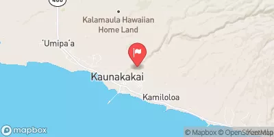
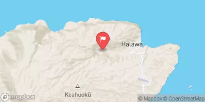
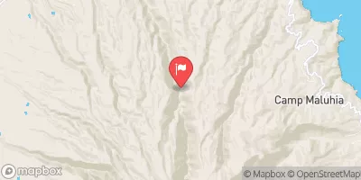
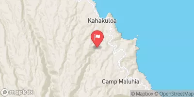
River Runs
-
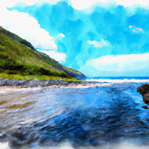 Boundary Of Kalaupapa National Historical Park To Mouth At Pacific Ocean
-
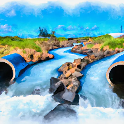 Begins Where Pipes First Meet The River And Main Diversion Begins To Mouth At Pacific Ocean
-
 Headwaters In The Mountain Bogs Between Pepeopae And Pu’U Ali’I Just Above An Elevation Of 4,000 Feet On The Interfluve That Separates Waikolu And Pelekunu Valleys To Ends Where Pipes First Meet The River And Main Diversion Begins
-
 Headwaters And Includes All Tributaries To Confluence With Pelekunu Stream
-
 Headwaters And Includes All Tributaries To Confluence With Kapuhi Stream


