Summary
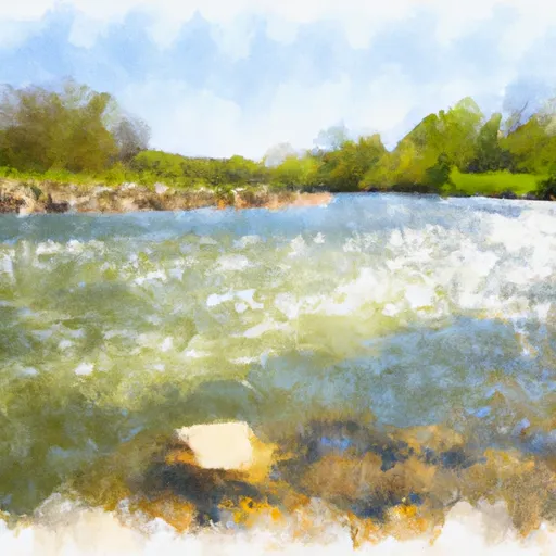
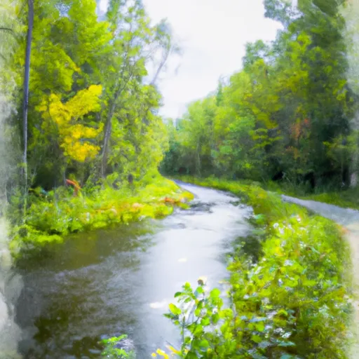
The Whitewater River Run's Main Branch-Forest Boundary in Sec 18, T37N, R15E to Railroad Bridge segment is an excellent destination for whitewater enthusiasts. It stretches for approximately 10.5 miles and is rated Class II-III, making it ideal for intermediate paddlers. The ideal streamflow range for this section is between 200-500 cfs, which usually occurs in the spring and fall. During the summer months, the water levels can drop significantly, making it difficult to navigate the rapids.
The river rapids on this stretch of the Whitewater River Run are exciting and challenging. Some notable rapids include Twisted Sister, Pinball, and Squeeze Play. These rapids are suitable for intermediate paddlers, and caution is advised as some have strong hydraulic features and unexpected drops. There are also several shallow sections and submerged obstacles that require careful navigation.
To ensure safety and enjoyment for all, the Illinois Department of Natural Resources has specific regulations in place for this area. These regulations include wearing a personal flotation device, maintaining a safe distance from other paddlers, and adhering to all signage and markers along the river. Additionally, camping is not permitted on the riverbanks without proper permits.
In conclusion, the Whitewater River Run's Main Branch-Forest Boundary in Sec 18, T37N, R15E to Railroad Bridge segment offers an unforgettable whitewater experience. With its ideal streamflow range, class rating, specific river rapids/obstacles, and regulations, this section is a must-visit for any paddling enthusiast.
°F
°F
mph
Wind
%
Humidity
15-Day Weather Outlook
River Run Details
| Last Updated | 2026-01-27 |
| River Levels | 608 cfs (8.31 ft) |
| Percent of Normal | 5% |
| Status | |
| Class Level | ii-iii |
| Elevation | ft |
| Streamflow Discharge | cfs |
| Gauge Height | ft |
| Reporting Streamgage | USGS 05592000 |
5-Day Hourly Forecast Detail
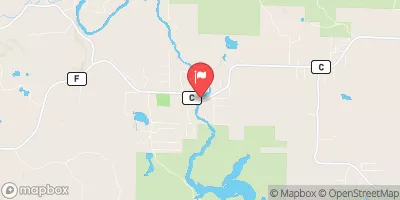
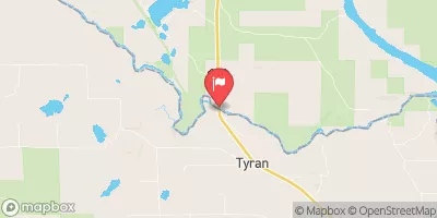
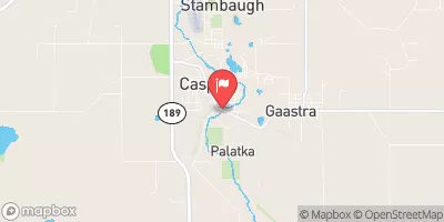
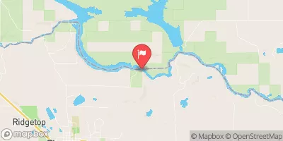
Nearby Streamflow Levels
Area Campgrounds
River Runs
-
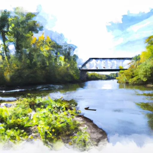 Main Branch-Forest Boundary In Sec 18, T37N, R15E To Railroad Bridge
-
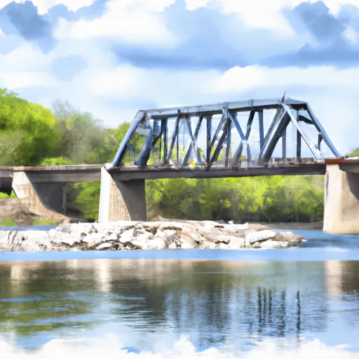 Railroad Bridge To 1/4 Mile Downstream From The Ccc Bridge
-
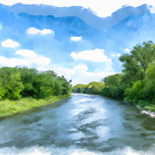 1/4 Mile Downstream From Ccc Bridge To 1/4 Mile Upstream From Evans Bridge
-
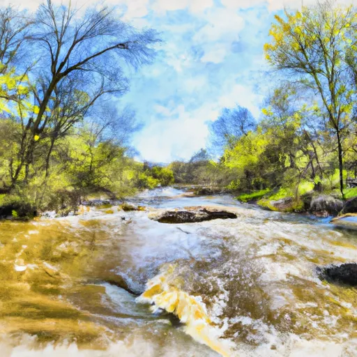 South Branch--Origin In Sec 25, T38N, R14E To Confluence With Main Branch
-
 1/4 Mile Upstream From Evans Bridge To Confluence With Armstrong Creek
-
 Forest Road 2398 To Eastern Forest Boundary


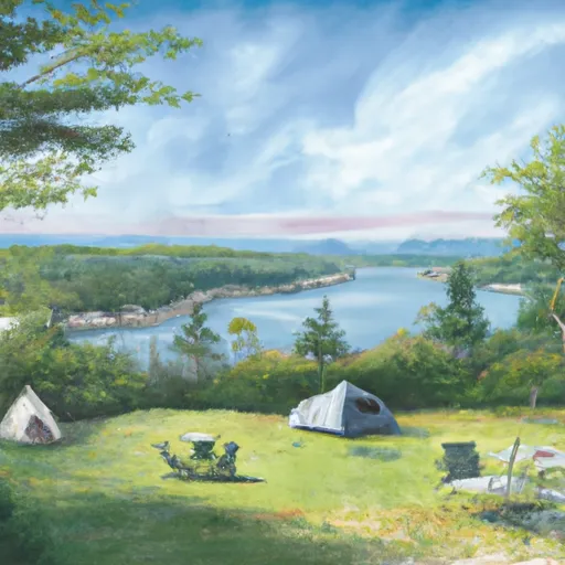 Laura Lake
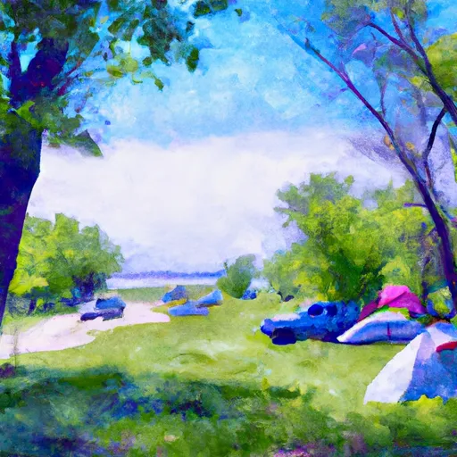 Laura and Gordon Lake Recreation Area
 Laura-Gordon Lakes Campground
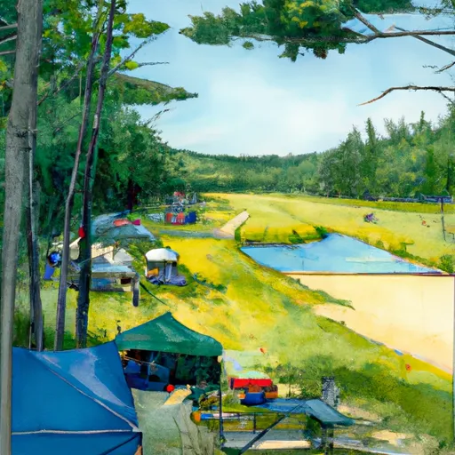 Morgan Lake
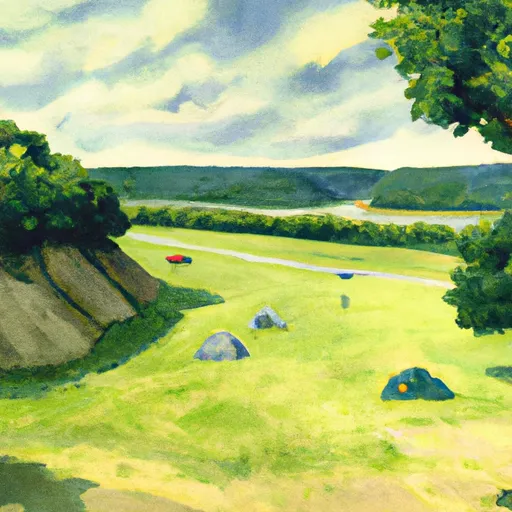 Morgan Lake Recreation Area
 Bear Lake Recreation Area Campground
 Ross Lake -- Access