None
An upper level weather disturbance will move across the region this afternoon and evening. Areas of light precipitation in the form of light rain, light sleet, and/or snow flurries will be possible across the area. Temperatures are expected to remain well above freezing, so no travel impacts are expected with this activity.
Carnes Mill Site To 7.65 Miles Above Confluece With Ohio River At Confluence With Turkey Creek Paddle Report
Last Updated: 2026-02-07
The Whitewater River run from Carnes Mill Site to 7.65 miles above the confluence with Ohio River at Confluence with Turkey Creek in Indiana is an exciting whitewater experience with an ideal streamflow range of 100-500 cfs.
Summary
The segment mileage is approximately 7.65 miles, and the class rating ranges from II to III+. The river rapids/obstacles include The Maze, a series of tight turns with a class II rating, and The Boulders, a class III+ rapid with large rocks and tight lines.
The area is regulated by the Indiana Department of Natural Resources, and all boaters must have a valid Indiana state park permit. Additionally, all boats must be equipped with a personal flotation device for each person on board, and all children under the age of 13 must wear a PFD while on the river. It is also important to note that all boats must stay within the designated navigation channel and avoid straying onto private property.
Overall, the Whitewater River run from Carnes Mill Site to 7.65 miles above the confluence with Ohio River at Confluence with Turkey Creek is an exciting and challenging whitewater experience for intermediate and advanced paddlers. It is important to follow all regulations and safety guidelines to ensure a safe and enjoyable trip.
°F
°F
mph
Wind
%
Humidity
15-Day Weather Outlook
River Run Details
| Last Updated | 2026-02-07 |
| River Levels | 188 cfs (2.63 ft) |
| Percent of Normal | 13% |
| Status | |
| Class Level | ii-iii+ |
| Elevation | ft |
| Streamflow Discharge | cfs |
| Gauge Height | ft |
| Reporting Streamgage | USGS 03303000 |
5-Day Hourly Forecast Detail
Nearby Streamflow Levels
 Blue River Near White Cloud
|
531cfs |
 Middle Fork Anderson River At Bristow
|
22cfs |
 Buck Creek Near New Middletown
|
77cfs |
 Blue River At Fredericksburg
|
201cfs |
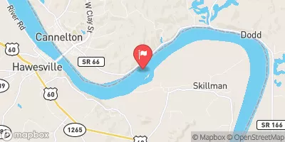 Ohio River At Cannelton Dam At Cannelton
|
205000cfs |
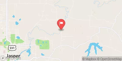 Patoka River At Jasper
|
191cfs |
Area Campgrounds
| Location | Reservations | Toilets |
|---|---|---|
 Horsemen's Campground Electric
|
||
 Celina Recreation Area
|
||
 North Face Loop
|
||
 OBannon Woods State Park
|
||
 North Face Camping
|
||
 South Slope Loop
|


 Carnes Mill Site To 7.65 Miles Above Confluece With Ohio River At Confluence With Turkey Creek
 City Limits Of English, In To Carnes Mill Site In Ne1/4Ne1/4 Of Sec 13, T3S, R1W