Southeastern Boundary Of Sleeping Bear Dunes National Lakeshore To Northwetern Boundary Of Sleeping Bear Dunes National Lakeshore River Run
Community Reviews
Been here? Share the conditions.
Reviews, ratings & photos are added in the free Snoflo iOS app — rate a spot, tag the conditions, and your visit is verified by location. Add or manage your reviews from the app.
Southeastern Boundary Of Sleeping Bear Dunes National Lakeshore To Northwetern Boundary Of Sleeping Bear Dunes National Lakeshore
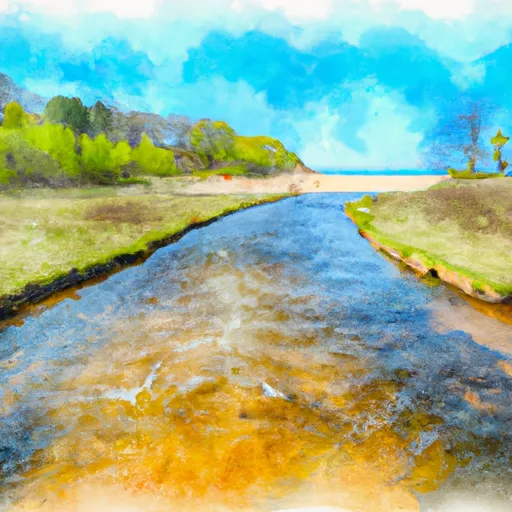
The segment mileage for this river run is approximately 16 miles, and it offers a variety of rapids and obstacles that will challenge paddlers. Some of the most notable rapids on this river include the Platte River Rapids, the S-Bend Rapid, and the Lake Michigan Surf. Additionally, there are numerous boulder gardens and eddies that paddlers must navigate through.
Specific regulations for this area include the need for a permit to access the river. The National Park Service requires all paddlers to obtain a permit before launching on the river. Additionally, paddlers must follow all Leave No Trace principles and respect the natural environment.
Overall, the Whitewater River Run offers a thrilling paddling experience for intermediate to advanced paddlers. The ideal streamflow range, class rating, segment mileage, specific river rapids/obstacles, and regulations are all important factors to consider before embarking on this adventure.
Plan your run down to the hour
Same weather feed Snoflo's iOS app uses -- updated continuously from NOAA / yr.no. Watch the precipitation column on the meteogram; rain ahead of a run typically lifts flows 12-48 hours later depending on the basin.
Next 5 days, hour by hour
Temperature line with weather symbols on top, snow + rain accumulation as columns, humidity as a dotted line.
5-day forecast table
Every 3 hours, broken out across temperature, snow, rain, humidity, and wind. Each cell is colour-coded relative to the column min/max.
| Time | Condition | Temp (°F) | Snow (in) | Rain (in) | Humidity (%) | Wind (mps) | Wind dir |
|---|---|---|---|---|---|---|---|
| Loading detailed forecast… | |||||||
15-day temperature & precipitation
Daily temperatures, snow, and rain projected over the next two weeks -- the upstream story that drives next week's flows.
Regional streamflow levels
USGS streamgauges around Southeastern Boundary Of Sleeping Bear Dunes National Lakeshore To Northwetern Boundary Of Sleeping Bear Dunes National Lakeshore -- useful for spotting upstream pulses and gauging which tributary is contributing what.
| Streamgauge | Discharge | View |
|---|---|---|
| Platte River At Honor | 140 cfs | → |
| Boardman R Above Brown Bridge Road Nr Mayfield | 142 cfs | → |
| Manistee River Near Sherman | 1,150 cfs | → |
| Manistee River Near Mesick | 1,150 cfs | → |
| Jordan River Near East Jordan | 183 cfs | → |
| Manistee River Near Wellston | 1,630 cfs | → |
Plan a longer trip
The closest boat launches, other paddle runs, and campgrounds so a day on the water can grow into a full weekend.
Boat launches
- Big Glen Lake (Via Little Glen), 4865 Acres, Leelanau County
- Lime Lake
- Armstrong Lake Boat Ramp Kasson Township
- Garey Lake
- County Road 651 N
- Pearl Lake
Other river runs
- Southern Boundary Of Sleeping Bear Dunes National Lakeshore To Mouth At Lake Michigan
- Kings Road Bridge (2 Miles West Of Town Of Luther In T19n, R12w To Slackwater Of The State Fish Weir In T21n, R16w
- South Branch From Forest Boundary East Of Hesperia At West Section Line Of Sec 22, T14n, R14w To Echo Drive In Sec 6, T13n, R12w
- From Sixteen Mile Lake To North Line Of Sec 26, T43n, R19w
- Origin At Confluence Of Outlets Of Frenchman Lake And Carp Lake (Sec 26, T44n, R6w) To West Section Line Of Sec 30, T43n, R5w
Campgrounds
- D. H. Day - Sleeping Bear Dunes National Lakeshore
- D.H. Day Campground And Ranger Station
- Sleeping Bear National Lake Shore - D. H. Day Campground
- D.H. Day Group Campground
- Indigo Bluffs Rv Park
- Empire Township Campground
Fishing spots
Whitewater safety
- Check the flow before you run
- Use the linked-gauge card and Regional Flow panel above. Class ratings change with flow -- a Class III at low water can become Class IV+ at high water.
- Know your skill ceiling
- Pick runs comfortably below your ceiling. Cold-water and big-water runs raise the consequences of any mistake.
- Wear the right gear
- Helmet, PFD, drysuit / wetsuit when water is below 60°F. Throw bag, knife, and whistle on your person, not in the boat.
- Scout, set safety, and run with a team
- Scout new rapids on foot, set safety with throw bags above the consequence pool, and run with at least one other competent paddler.
- Respect the river
- Strainers, undercuts, low-head dams, and wood can kill at any class rating. When in doubt, portage.
Set push alerts in the Snoflo app
Save Southeastern Boundary Of Sleeping Bear Dunes National Lakeshore To Northwetern Boundary Of Sleeping Bear Dunes National Lakeshore as a favorite, set a discharge threshold (e.g. "alert me when flow hits 600 cfs"), and the iOS app pushes the moment the linked gauge crosses.
About Southeastern Boundary Of Sleeping Bear Dunes National Lakeshore To Northwetern Boundary Of Sleeping Bear Dunes National Lakeshore
What's the optimal flow for Southeastern Boundary Of Sleeping Bear Dunes National Lakeshore To Northwetern Boundary Of Sleeping Bear Dunes National Lakeshore?
The optimal flow depends on the section and the craft. Check the Run Details panel for the linked gauge and current status.
How fresh is the cfs reading on this page?
The linked USGS streamgauge reports continuously (every 15 minutes); Snoflo refreshes throughout the day. Hover the streamflow sparkline to read individual datapoints.
What's the whitewater class?
See the Run Details panel for the class rating Snoflo tracks for this run. Class ratings change with flow -- a Class III at low water can become Class IV in high water.
Where do I put in / take out?
Tap Directions in the hero above to open driving directions to the put-in. For shuttle planning, check the Nearby Boat Launches panel and the river run operator's site.
Can I get alerts when flows hit the optimal range?
Yes -- alerts are managed in the Snoflo iOS app. Favorite this run, set a discharge threshold, and you'll get a push the moment the gauge crosses.
Other runs near here
Snoflo-tracked paddle runs within driving distance of Southeastern Boundary Of Sleeping Bear Dunes National Lakeshore To Northwetern Boundary Of Sleeping Bear Dunes National Lakeshore.