Summary
The ideal streamflow range for this river is between 300 and 1000 cubic feet per second (cfs).
The river is classified as a Class III-IV, with some sections reaching Class V during high water. The total segment mileage of the run is approximately 18 miles, with challenging rapids and obstacles throughout.
Some specific rapids and obstacles on the Whitewater River Run include the Headwall, The Slot, Souse Hole, and T-Bar Rapid. It is important for kayakers and rafters to have experience and skill before attempting this run, as it can be dangerous and challenging.
There are specific regulations in place for the Whitewater River Run, including a permit requirement for all river users. Additionally, the use of motorized watercraft is prohibited on this section of the river.
Overall, the Whitewater River Run is a challenging and exciting experience for experienced kayakers and rafters. It is important to be aware of the specific regulations and safety considerations before attempting this run.
°F
°F
mph
Wind
%
Humidity
15-Day Weather Outlook
River Run Details
| Last Updated | 2026-02-07 |
| River Levels | 46 cfs (1.14 ft) |
| Percent of Normal | 49% |
| Status | |
| Class Level | iii-iv |
| Elevation | ft |
| Streamflow Discharge | cfs |
| Gauge Height | ft |
| Reporting Streamgage | USGS 09430500 |
5-Day Hourly Forecast Detail
Nearby Streamflow Levels
 Gila River Near Gila
|
70cfs |
 Mimbres River At Mimbres
|
5cfs |
 Mogollon Creek Near Cliff
|
10cfs |
 San Francisco River Near Glenwood
|
24cfs |
 Gila River Near Redrock
|
87cfs |
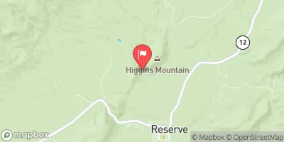 San Francisco River Near Reserve
|
3350cfs |
Area Campgrounds
| Location | Reservations | Toilets |
|---|---|---|
 Wall Lake
|
||
 Forks
Forks
|
||
 Forks Campground
|
||
 Grapevine Campground
|
||
 Grapevine
|
||
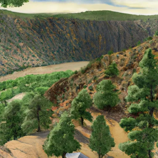 Black Canyon Upper
|
River Runs
-
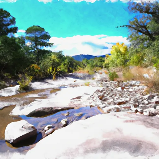 Aldo Leopold Wilderness Boundary To Gila Wilderness Boundary
-
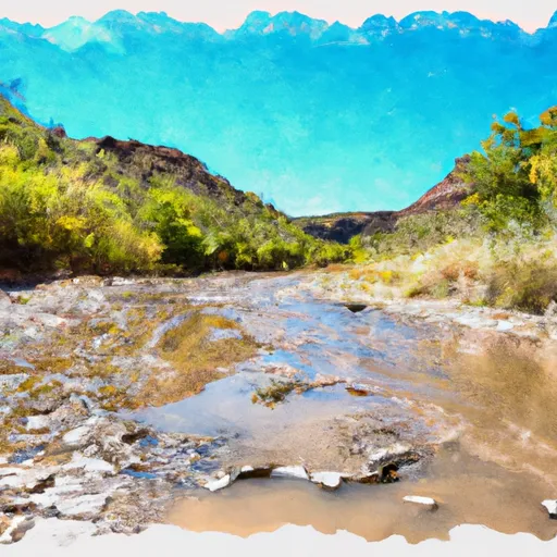 Gila Wilderness Boundary To Confluence With East Fork Gila River
-
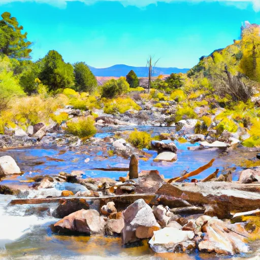 Headwaters To Aldo Leopold Wilderness Boundary
-
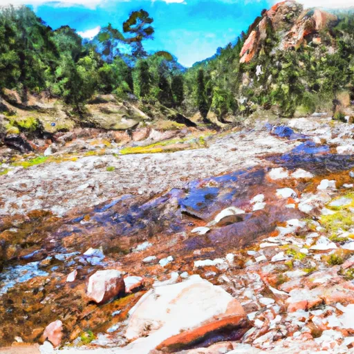 Gila Wilderness Boundary (Below Snow Lake) To Gila Wilderness Boundary (Sec 24, T12S, R14W)
-
 Wilderness Run
-
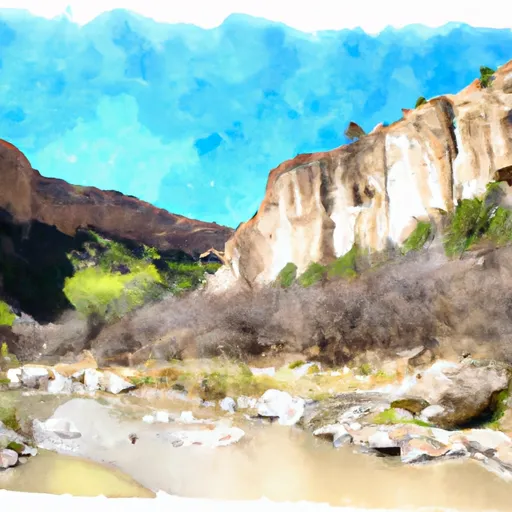 Northern Boundary Nm To Eastern Boundary Gila Cliff Dwellings Nm

