Summary
The ideal streamflow range for this run is between 200 and 600 cubic feet per second, as reported by the USGS gauge at Mogollon Creek. The class rating for this section of the river is Class II-III, with several challenging sections of rapids and obstacles.
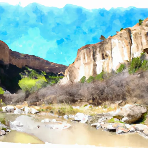
The segment mileage for this run is approximately 4 miles, starting at the headwaters and ending at the northern boundary of the Gila Cliff Dwellings National Monument. The river features several exciting rapids and obstacles, including The Chute, a narrow channel that requires precise navigation, and The Pinball Machine, a section of the river with numerous boulders and eddies that make for a thrilling ride.
There are specific regulations in place for this area, including a seasonal closure from March 1st to May 31st to protect nesting bald eagles. Additionally, visitors are required to obtain a permit to launch any type of watercraft on the river, and all boaters are required to wear a personal flotation device.
°F
°F
mph
Wind
%
Humidity
15-Day Weather Outlook
River Run Details
| Last Updated | 2026-02-07 |
| River Levels | 1 cfs (1.15 ft) |
| Percent of Normal | 35% |
| Status | |
| Class Level | ii-iii |
| Elevation | ft |
| Streamflow Discharge | cfs |
| Gauge Height | ft |
| Reporting Streamgage | USGS 09430600 |
5-Day Hourly Forecast Detail
Nearby Streamflow Levels
 Gila River Near Gila
|
70cfs |
 Mogollon Creek Near Cliff
|
10cfs |
 Mimbres River At Mimbres
|
5cfs |
 San Francisco River Near Glenwood
|
24cfs |
 Gila River Near Redrock
|
87cfs |
 San Francisco River Near Reserve
|
3350cfs |
Area Campgrounds
| Location | Reservations | Toilets |
|---|---|---|
 Upper Scorpion Campground
|
||
 Lower Scorpion Campround
|
||
 Scorpion - Gila Cliff Dwelllings
|
||
 Forks
Forks
|
||
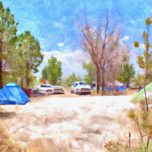 Forks Campground
|
||
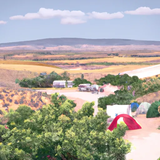 Grapevine
|
River Runs
-
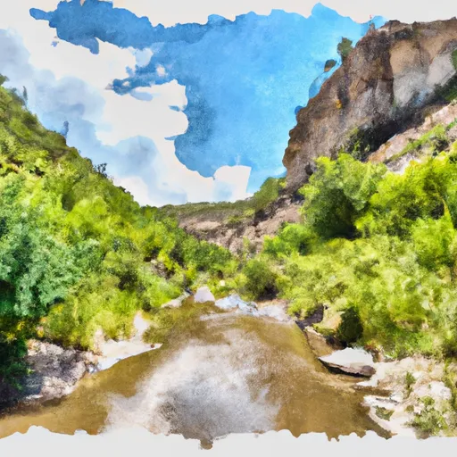 Headwaters To Northern Boundary Gila Cliff Dwellings Nm
-
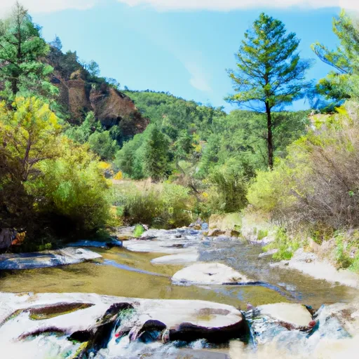 Headwaters In Gila National Forest To Eastern Boundary Of Gila Cliff Dwellings National Monument
-
 Northern Boundary Nm To Eastern Boundary Gila Cliff Dwellings Nm
-
 Gila Wilderness Boundary (Below Snow Lake) To Gila Wilderness Boundary (Sec 24, T12S, R14W)
-
 Wilderness Run
-
 Gila Wilderness Boundary To Confluence With East Fork Gila River

