Below Ellis Ranch To Private Land Boundary River Run
Community Reviews
Been here? Share the conditions.
Reviews, ratings & photos are added in the free Snoflo iOS app — rate a spot, tag the conditions, and your visit is verified by location. Add or manage your reviews from the app.
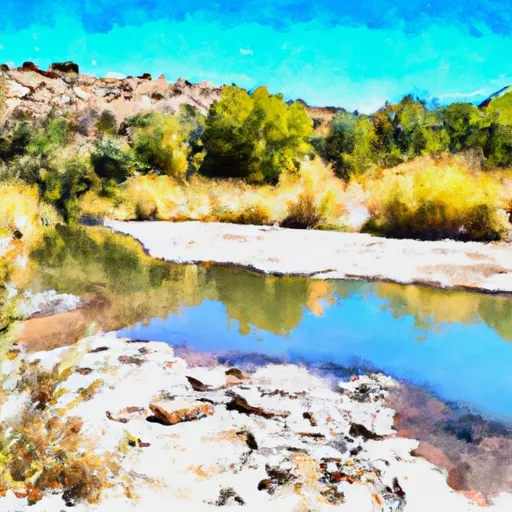
Below Ellis Ranch To Private Land Boundary
It is important to note that this section of the Whitewater River is located on private land, and access is only granted to those who have obtained a permit from the landowner. Additionally, boaters are required to adhere to specific regulations, including a prohibition on alcohol and a requirement to wear a personal flotation device at all times while on the river.
Multiple sources, including American Whitewater and the New Mexico State Parks Department, confirm the class rating, recommended flow range, and specific rapids and obstacles in this section of the river. It is important for boaters to check current flow conditions and obtain the necessary permits before embarking on this challenging and exciting river run.
Plan your run down to the hour
Same weather feed Snoflo's iOS app uses -- updated continuously from NOAA / yr.no. Watch the precipitation column on the meteogram; rain ahead of a run typically lifts flows 12-48 hours later depending on the basin.
Next 5 days, hour by hour
Temperature line with weather symbols on top, snow + rain accumulation as columns, humidity as a dotted line.
5-day forecast table
Every 3 hours, broken out across temperature, snow, rain, humidity, and wind. Each cell is colour-coded relative to the column min/max.
| Time | Condition | Temp (°F) | Snow (in) | Rain (in) | Humidity (%) | Wind (mps) | Wind dir |
|---|---|---|---|---|---|---|---|
| Loading detailed forecast… | |||||||
15-day temperature & precipitation
Daily temperatures, snow, and rain projected over the next two weeks -- the upstream story that drives next week's flows.
Regional streamflow levels
USGS streamgauges around Below Ellis Ranch To Private Land Boundary -- useful for spotting upstream pulses and gauging which tributary is contributing what.
| Streamgauge | Discharge | View |
|---|---|---|
| North Floodway Channel Near Alameda | 5 cfs | → |
| Embudo Arroyo At Albuquerque | · | → |
| Hahn Arroyo In Albuquerque | · | → |
| Rio Grande At San Felipe | 532 cfs | → |
| Rio Grande Nr Alameda | · | → |
| N. Floodway Channel At Albuquerque | 4 cfs | → |
Plan a longer trip
The closest boat launches, other paddle runs, and campgrounds so a day on the water can grow into a full weekend.
Other river runs
- Headwaters To Nf Boundary (To Eastern Parcel Of Forest Valley Subdivision)
- Fr 106 Bridge To Confluence With Rio Chama
- Abiqui Dam To El Rito Creek
- Headwaters To Confluence With San Leonardo
- Confluence With San Leonardo To Nf Boundary
Campgrounds
- Campbell Scout Ranch
- Koa
- Coronado State Monument
- Coronado
- Cedro Peak Group Campground
- Cedro Peak Camping Sites - Robin And Jay
Fishing spots
Whitewater safety
- Check the flow before you run
- Use the linked-gauge card and Regional Flow panel above. Class ratings change with flow -- a Class III at low water can become Class IV+ at high water.
- Know your skill ceiling
- Pick runs comfortably below your ceiling. Cold-water and big-water runs raise the consequences of any mistake.
- Wear the right gear
- Helmet, PFD, drysuit / wetsuit when water is below 60°F. Throw bag, knife, and whistle on your person, not in the boat.
- Scout, set safety, and run with a team
- Scout new rapids on foot, set safety with throw bags above the consequence pool, and run with at least one other competent paddler.
- Respect the river
- Strainers, undercuts, low-head dams, and wood can kill at any class rating. When in doubt, portage.
Set push alerts in the Snoflo app
Save Below Ellis Ranch To Private Land Boundary as a favorite, set a discharge threshold (e.g. "alert me when flow hits 600 cfs"), and the iOS app pushes the moment the linked gauge crosses.
About Below Ellis Ranch To Private Land Boundary
What's the optimal flow for Below Ellis Ranch To Private Land Boundary?
The optimal flow depends on the section and the craft. Check the Run Details panel for the linked gauge and current status.
How fresh is the cfs reading on this page?
The linked USGS streamgauge reports continuously (every 15 minutes); Snoflo refreshes throughout the day. Hover the streamflow sparkline to read individual datapoints.
What's the whitewater class?
See the Run Details panel for the class rating Snoflo tracks for this run. Class ratings change with flow -- a Class III at low water can become Class IV in high water.
Where do I put in / take out?
Tap Directions in the hero above to open driving directions to the put-in. For shuttle planning, check the Nearby Boat Launches panel and the river run operator's site.
Can I get alerts when flows hit the optimal range?
Yes -- alerts are managed in the Snoflo iOS app. Favorite this run, set a discharge threshold, and you'll get a push the moment the gauge crosses.
Other runs near here
Snoflo-tracked paddle runs within driving distance of Below Ellis Ranch To Private Land Boundary.