Junction Of Water Canyon And Holden Prong To Aldo Leopold Wilderness Boundary Paddle Report
Last Updated: 2026-02-07
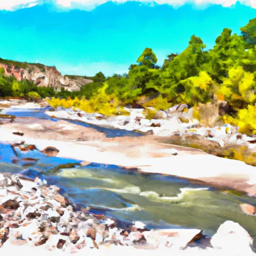
The Whitewater River Run from Junction of Water Canyon and Holden Prong to Aldo Leopold Wilderness Boundary in New Mexico is considered one of the most challenging and exciting runs in the state.
Summary
The ideal streamflow range for this run is between 300 and 1,000 cubic feet per second (cfs). The class rating for this run is class III-IV, meaning that the rapids are moderately difficult with an increased difficulty level in some sections.
This segment covers approximately 12 miles of the river and includes several notable rapids such as the Meatgrinder, the Narrows, and the Cauldron. These rapids are challenging and require proper paddling skills, especially during high water conditions. It is also important to be aware of some of the obstacles, including fallen trees and rock formations, which can make the run more challenging.
Specific regulations to the area include obtaining a permit from the Gila National Forest ranger district, which allows for up to 15 people per group and a maximum of 30 people per day. Additionally, all visitors are required to follow Leave No Trace principles, including packing out all trash and minimizing impact on the environment.
Overall, the Whitewater River Run from Junction of Water Canyon and Holden Prong to Aldo Leopold Wilderness Boundary is an exciting and challenging run that requires proper paddling skills and knowledge of the river. It is important to follow all regulations and guidelines in order to protect the environment and ensure a safe and enjoyable trip.
°F
°F
mph
Wind
%
Humidity
15-Day Weather Outlook
River Run Details
| Last Updated | 2026-02-07 |
| River Levels | 7 cfs (3.05 ft) |
| Percent of Normal | 35% |
| Status | |
| Class Level | iii-iv |
| Elevation | ft |
| Streamflow Discharge | cfs |
| Gauge Height | ft |
| Reporting Streamgage | USGS 08477110 |
5-Day Hourly Forecast Detail
Nearby Streamflow Levels
Area Campgrounds
| Location | Reservations | Toilets |
|---|---|---|
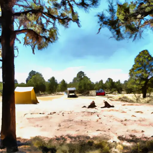 Wrights Cabin
|
||
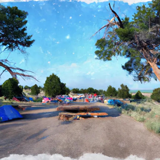 Kingston Campground
|
||
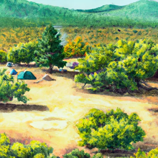 Kingston
|
||
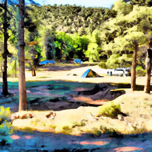 Iron Creek
|
||
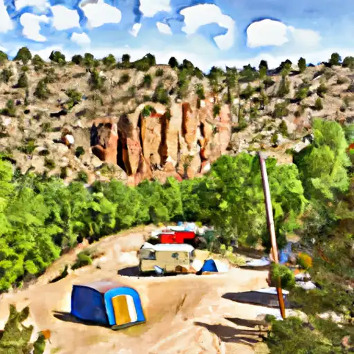 Railroad Canyon
|
||
 Railroad Canyon Campground
|



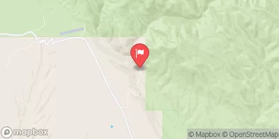
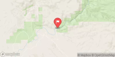
 Junction Of Water Canyon And Holden Prong To Aldo Leopold Wilderness Boundary
 Headwaters To Confluence With Las Animas Creek
 Aldo Wilderness Boundary To Nf Boundary