Summary
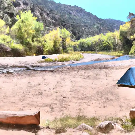
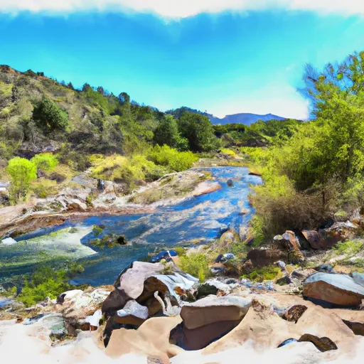
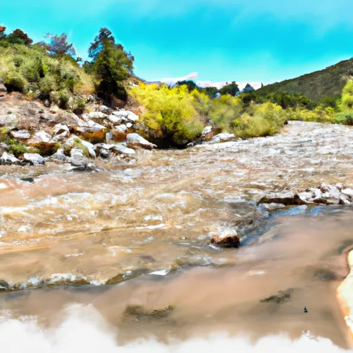
The river is comprised of five segments branching south and east, and it runs to the western boundary of the Three Rivers Campground in the Western National Forest. The ideal streamflow range for this river is between 500 and 2,000 cubic feet per second (cfs).
The class rating of the Headwaters of Three Rivers ranges from Class II to Class IV, making it a great spot for intermediate to advanced paddlers. The segments of the river vary in length, with the shortest being 2 miles and the longest being 8 miles.
The river rapids and obstacles on the Headwaters of Three Rivers vary depending on the particular segment you choose to run. Some of the rapids include Tire Iron, Dead Man's Curve, and Jaws. There are also several boulder gardens and drops that add to the excitement of the run.
When visiting the Headwaters of Three Rivers, it's important to note that there are specific regulations in place to protect the area. For example, all visitors are required to obtain a permit before entering the area. Additionally, there are restrictions in place regarding camping and fires. Visitors should also take care to pack out all trash and leave the area as they found it.
Overall, the Headwaters of Three Rivers is a fantastic whitewater river run that offers thrilling rapids and beautiful scenery. It's important to be aware of the specific regulations in place and to plan your trip accordingly to ensure a safe and enjoyable experience.
°F
°F
mph
Wind
%
Humidity
15-Day Weather Outlook
River Run Details
| Last Updated | 2026-02-07 |
| River Levels | 1 cfs (6.08 ft) |
| Percent of Normal | 33% |
| Status | |
| Class Level | ii-iv |
| Elevation | ft |
| Streamflow Discharge | cfs |
| Gauge Height | ft |
| Reporting Streamgage | USGS 08387600 |
5-Day Hourly Forecast Detail
Nearby Streamflow Levels
Area Campgrounds
| Location | Reservations | Toilets |
|---|---|---|
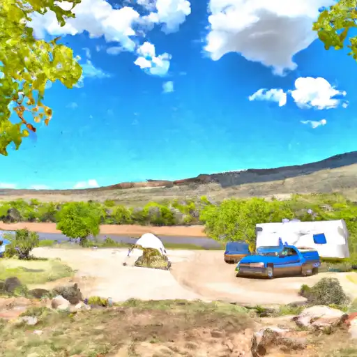 Three Rivers
|
||
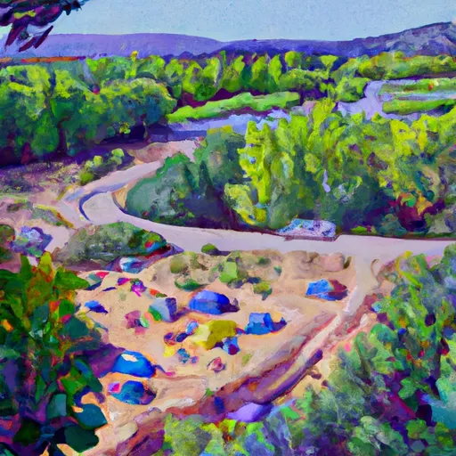 Three Rivers Campground
|
||
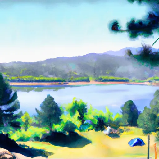 Eagle Creek Lakes
|
||
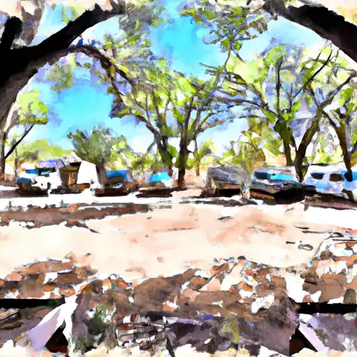 Oak Grove
|
||
 South Fork
|
||
 Three Rivers Petroglyph National Rec Site
|


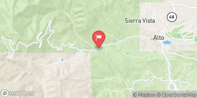
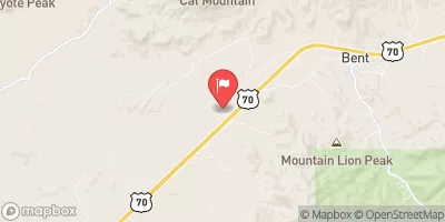
 Headwaters Of Three Rivers, Including 5 Segments Branching South And East To Western Nf Boundary At Three Rivers Campground
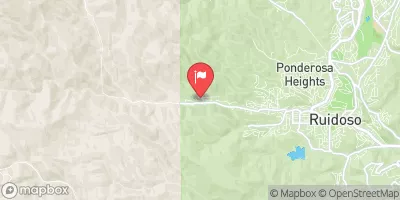
 Confluence Of 2 Headwaters For South Fork (Sec 28, T10S, R11E) To Southern Boundary Of South Fork Campground
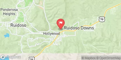
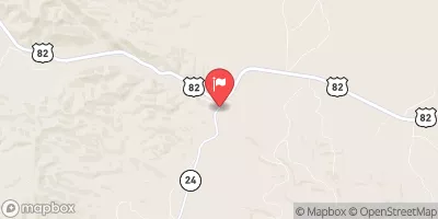
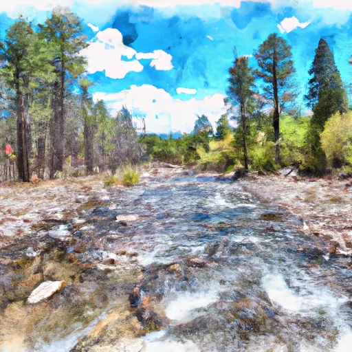 Headwaters Nf Rio Ruidoso To Nf Boundary