Summary
The ideal streamflow range for this segment of the river is between 200-400 cfs, which provides enough water for a thrilling ride without being too dangerous. The class rating for this section of the river is Class III-IV, meaning it has moderate to difficult rapids with some obstacles and tight passages.
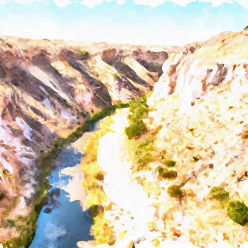
The segment mileage of this river run is approximately 7.5 miles, starting at the eastern boundary of Sec 6, T16S, R11E, and ending at the western boundary of Sec 6, R16S, R11E. Along the way, paddlers will encounter several rapids and obstacles, including the "S-Turns," "Rattlesnake Rapid," and "Pumps Rapid." These rapids offer exciting challenges for experienced paddlers, but novices should approach with caution.
There are specific regulations that paddlers should be aware of when navigating this section of the Whitewater River Run. All paddlers must have a personal flotation device (PFD) and a helmet, and it is recommended that they have specialized equipment for whitewater kayaking or rafting. Additionally, it is important to be aware of private property boundaries and to avoid disturbing wildlife in the area.
Overall, the Whitewater River Run in Main Fresnal Canyon is a thrilling and challenging destination for experienced kayakers and rafters. With its moderate to difficult rapids, scenic views, and unique obstacles, this section of the river is sure to provide an unforgettable experience for those who are up for the challenge.
°F
°F
mph
Wind
%
Humidity
15-Day Weather Outlook
River Run Details
| Last Updated | 2026-02-07 |
| River Levels | 8 cfs (2.01 ft) |
| Percent of Normal | 80% |
| Status | |
| Class Level | iii-iv |
| Elevation | ft |
| Streamflow Discharge | cfs |
| Gauge Height | ft |
| Reporting Streamgage | USGS 08481500 |
5-Day Hourly Forecast Detail
Nearby Streamflow Levels
Area Campgrounds
| Location | Reservations | Toilets |
|---|---|---|
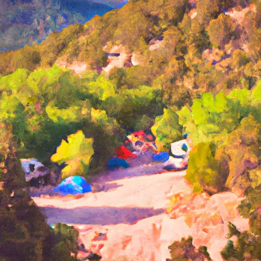 Lower Karr Canyon Campground
|
||
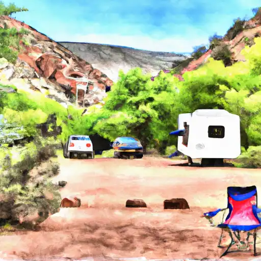 Lower Karr Canyon
|
||
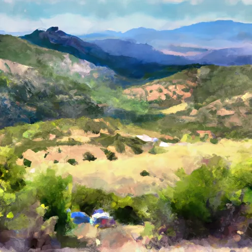 Alamo Peak Road
|
||
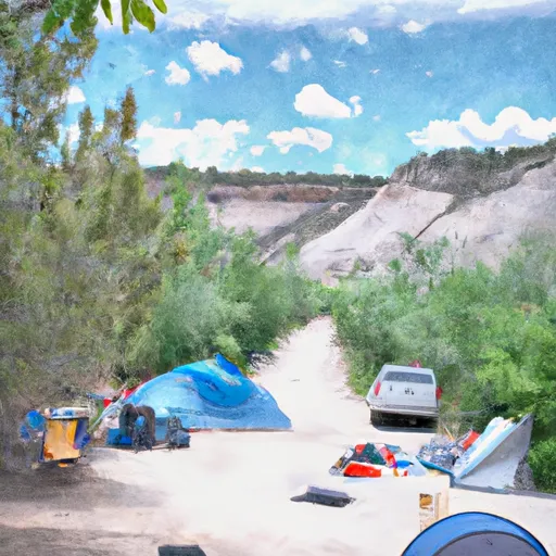 Slide Group Campground
|
||
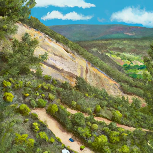 Upper Karr Canyon
|
||
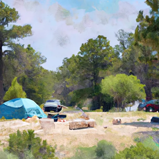 Deerhead Campground
|


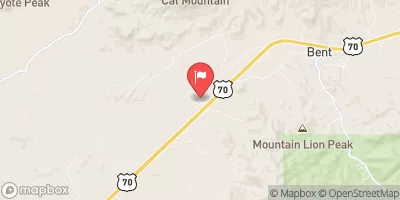
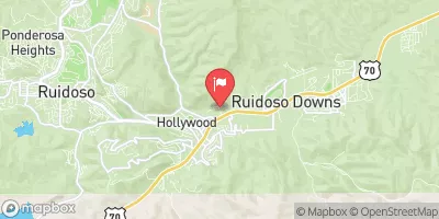
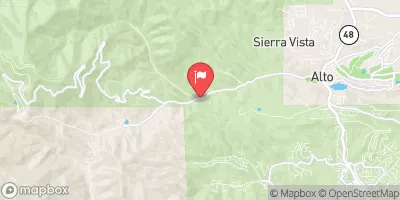
 Main Fresnal Canyon From Eastern Boundary Sec 6, T16S, R11E To Main Fresnal Canyon To The Western Boundary Sec 6, R16S, R11E
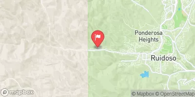
 Headwaters Rio Penasco, Water Canyon And Benson Canyon To Confluence Of Benson Canyon And Rio Penasco Sec 10, T17S, R12E