Summary
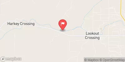
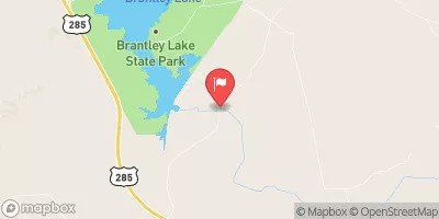
The run starts at the eastern boundary of private land in Sec 2, T25S, R22E, and ends at the confluence of Turkey and Dark Canyons in Sec 26, T24S, R22E. The ideal streamflow range for this run is between 300-600 cfs, with the best season being from April to June.
The segment mileage for this run is approximately 11 miles, and it is rated as a class III-IV. This run is known for its technical rapids, including Boxcar, Corkscrew, and Souse Hole. The run also features several obstacles, including large boulders and rock gardens.
There are specific regulations to this area, including a limit of 25 people per group on the river at any given time. Additionally, all boaters must have a valid permit, which can be obtained through the Bureau of Land Management. It is also important to note that this run is located on private land, so boaters must respect the property rights of the landowners.
In summary, the Whitewater River Run in New Mexico is a challenging and technical class III-IV run with several obstacles and rapids. The ideal streamflow range is between 300-600 cfs, and there are specific regulations in place, including group size limits and the requirement of a valid permit. Boaters must also respect the rights of the landowners as this run is located on private land.
°F
°F
mph
Wind
%
Humidity
15-Day Weather Outlook
River Run Details
| Last Updated | 2025-10-11 |
| River Levels | 0 cfs (3.57 ft) |
| Percent of Normal | 0% |
| Status | |
| Class Level | iii-iv |
| Elevation | ft |
| Streamflow Discharge | cfs |
| Gauge Height | ft |
| Reporting Streamgage | USGS 08405105 |
5-Day Hourly Forecast Detail
Nearby Streamflow Levels
River Runs
-
 Confluence Of Turkey Canyon And Robinson Draw (Sec 33, T24S, R22E) To Confluence Of Turkey And Dark Canyons In Sec 26, T24S, R22E
-
 Eastern Boundary Of Private Land In Sec 2, T25S, R22E To Confluence Of Turkey And Dark Canyons In Sec 26, T24S, R22E
-
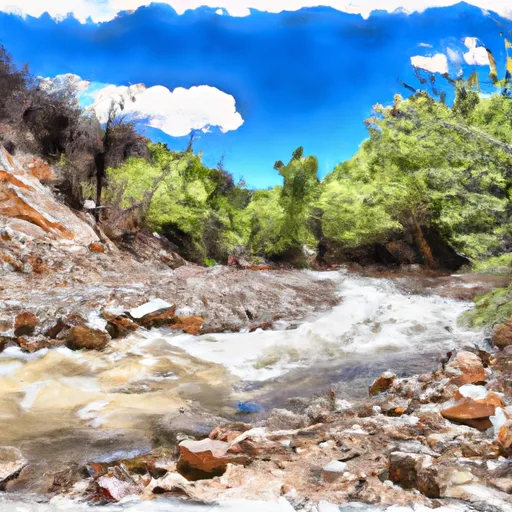 Headwaters In Sec 12, T25S, R22E To Payne Canyon In Sec 1, T25S, R22E
-
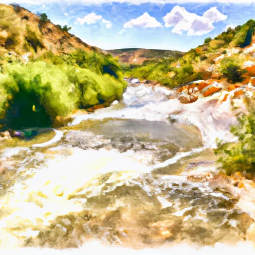 Confluence Of Horse Canyon Headwaters In Sec 11, T25S, R22E To Confluence Of Horse And Payne Canyons In Sec 1, T25S, R22E
-
 Headwaters Of Side Channel In Sec 12, T25S, R22E To Horse Canyon In Sec 2, T25S, R22E
-
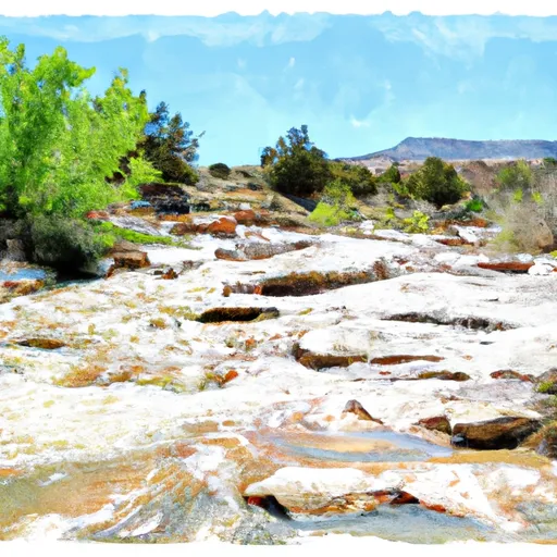 Headwaters Of Horse Spring In Sec 13, T25S, R22E To Confluence Of Horse Spring And Horse Canyon In Sec 11, T25S, R22E


