Summary
The ideal streamflow range for this river ranges between 400-800 cfs. The river is rated as a Class III-IV run, making it suitable for intermediate to advanced paddlers. The segment mileage of the river is approximately 10 miles, and it is known for its scenic beauty and challenging rapids.
The river has several rapids and obstacles that make it a challenging run for experienced paddlers. Some of the notable rapids include the Entrance Rapid, the Pinball Rapid, and the S-Turns. These rapids are known for their technical difficulty and require precise navigation through narrow channels and tight turns. The river also has several challenging drops and ledges that require good boat control and precise maneuvering.
To ensure the safety of paddlers, there are specific regulations that must be followed when paddling on Bluewater Creek. These include wearing appropriate safety gear such as helmets and life jackets, paddling in groups of two or more, and staying within designated areas. Additionally, paddlers must obtain permits from the Bureau of Land Management to access the river.
In conclusion, Bluewater Creek is a challenging and stunning whitewater river run in New Mexico. With its ideal streamflow range, class rating, segment mileage, and specific river rapids and obstacles, this river is a must-visit destination for experienced paddlers looking for a thrilling adventure. It is important to follow the regulations and safety guidelines to ensure a safe and enjoyable paddling experience.
°F
°F
mph
Wind
%
Humidity
15-Day Weather Outlook
River Run Details
| Last Updated | 2025-06-28 |
| River Levels | 3 cfs (1.9 ft) |
| Percent of Normal | 75% |
| Status | |
| Class Level | iii-iv |
| Elevation | ft |
| Streamflow Discharge | cfs |
| Gauge Height | ft |
| Reporting Streamgage | USGS 08343500 |
5-Day Hourly Forecast Detail
Nearby Streamflow Levels
Area Campgrounds
| Location | Reservations | Toilets |
|---|---|---|
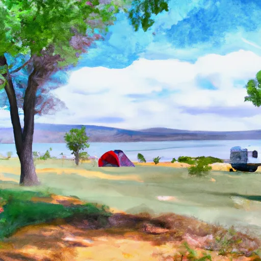 Bluewater Lake State Park
|
||
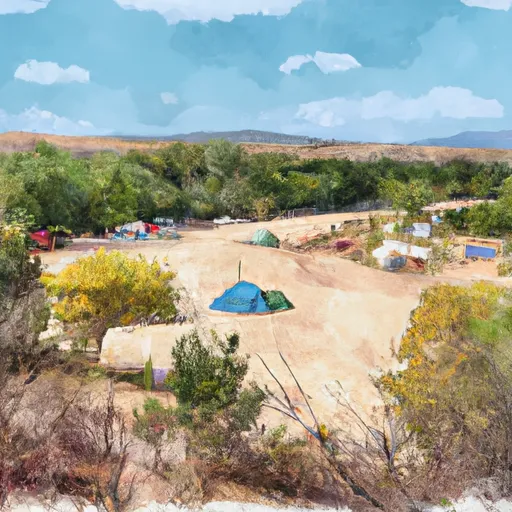 Ojo Redondo Campground
|
||
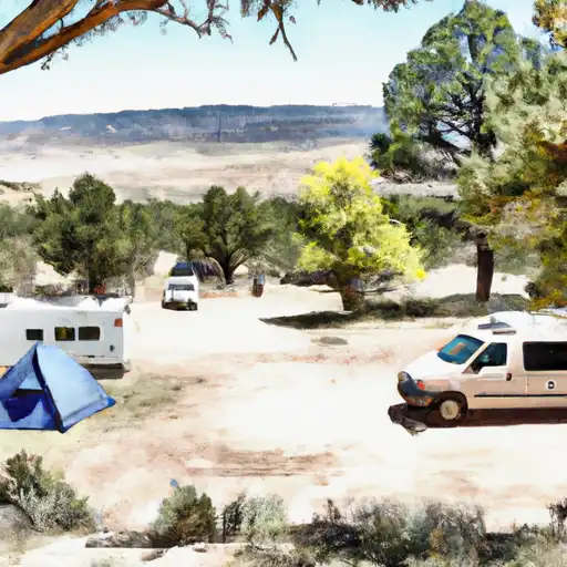 Ojo Redondo
|


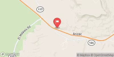
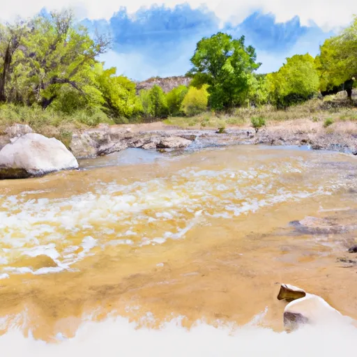 Bluewater Creek