2026-02-23T19:00:00-05:00
* WHAT...Heavy snow expected. Total snow accumulations between 5 and 12 inches with locally higher amounts into the Helderbergs and Schoharie County. Winds gusting between 30 and 40 mph will lead to areas of blowing snow. * WHERE...Schoharie County, the Helderbergs, portions of the Capital District and the Rensselaer Plateau in eastern New York and all of southern Vermont. * WHEN...From 7 PM this evening to 7 PM EST Monday. * IMPACTS...Travel could be difficult. Visibilities may drop below 1/4 mile due to falling and blowing snow. Areas of blowing snow could significantly reduce visibility. The hazardous conditions could impact the Monday morning and evening commutes. * ADDITIONAL DETAILS...A powerful nor'easter will impact the region late this afternoon through Monday. The higher snowfall amounts will be favored across the higher elevations. Snowfall rates may reach 1 inch per hour at times tonight into early Monday morning with up to 2 inches in the Helderbergs and Schoharie County.
Summary
°F
°F
mph
Wind
%
Humidity
15-Day Weather Outlook
River Run Details
| Last Updated | 2026-01-27 |
| River Levels | 226 cfs (4.38 ft) |
| Percent of Normal | 312% |
| Status | |
| Class Level | None |
| Elevation | ft |
| Streamflow Discharge | cfs |
| Gauge Height | ft |
| Reporting Streamgage | USGS 01329490 |
5-Day Hourly Forecast Detail
Nearby Streamflow Levels
Area Campgrounds
| Location | Reservations | Toilets |
|---|---|---|
 Camping on the Battenkill
|
||
 South Bourne Pond
|
||
 North Bourne Pond
|
||
 Stratton View Tenting Area
|
||
 Grout Pond Recreation Area
|
||
 Grout Pond
|


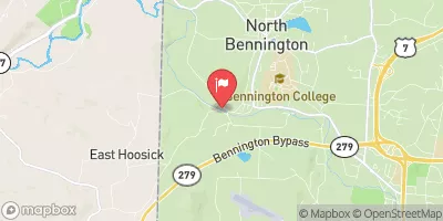
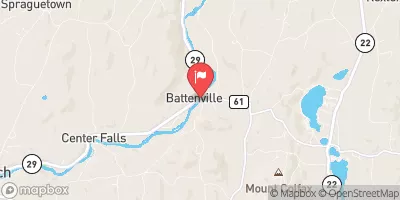
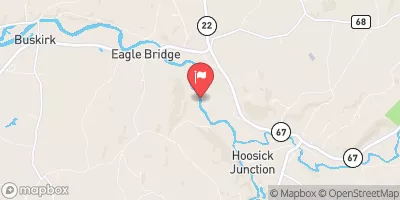
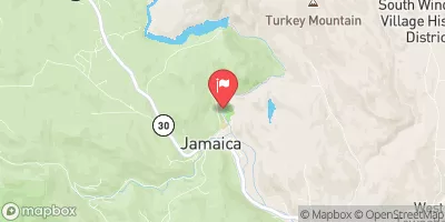
 Batten Kill Road Arlington
 Ny/Vt State Line To Arlington, Vt
 Branch Pond To Proclamation Boundary
 Headwaters To Proclamation Boundary
 Headwaters To Wilderness Boundary
 Lye Brook Wilderness Boundary To Confluence Of Batten Kill
 Wilderness Boundary To Confluence With Batten Kill
 Wilderness Lye Brook
 Dana L. Thompson Memorial Park
 Lauderdale Park