Summary
The ideal streamflow range for this run is between 500 and 1,500 cfs. The river is rated as Class II-III, with some Class IV rapids in certain sections. The run spans a total of 20 miles, from the southern boundary of the South Unit of Theodore Roosevelt National Park to the northern boundary of the same unit.
The rapids on the Whitewater River include "Hell Roaring Creek" and "The Narrows," both of which are Class IV rapids. Other notable obstacles include "The Slide" and "The Narrows," which are both Class III rapids. It is important for kayakers and rafters to be familiar with these rapids and obstacles and to have proper equipment and training before attempting the Whitewater River Run.
There are specific regulations in place for the Whitewater River Run. Kayakers and rafters must have a permit to use the river, which can be obtained from the National Park Service. Additionally, all boaters must wear personal flotation devices and are required to pack out all trash and waste. It is also important to note that camping along the river is prohibited.
Overall, the Whitewater River Run is a thrilling and challenging adventure for experienced kayakers and rafters. It is important to be prepared and knowledgeable about the river's rapids and obstacles and to follow all regulations to ensure a safe and enjoyable trip.
°F
°F
mph
Wind
%
Humidity
15-Day Weather Outlook
River Run Details
| Last Updated | 2025-11-26 |
| River Levels | 1270 cfs (4.38 ft) |
| Percent of Normal | 87% |
| Status | |
| Class Level | ii-iii |
| Elevation | ft |
| Run Length | 15.0 Mi |
| Streamflow Discharge | cfs |
| Gauge Height | ft |
| Reporting Streamgage | USGS 06336000 |


 Roundup Horse Group Campground
 Wannagan
 Wannagan Campground
 Cottonwood - Theodore Roosevelt National Park
 Medora City RV Campground
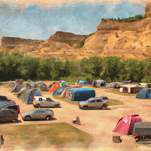 Medora City Campground
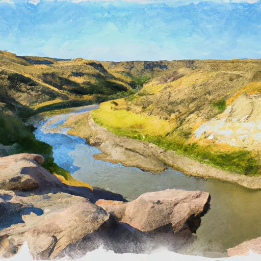 Southern Boundary Of The South Unit Of Theodore Roosevelt National Park To Northern Boundary Of The South Unit Of Theodore Roosevelt National Park