Northern Boundary Of Knife River Indian Villages National Historic Site To Southern Boundary Of Knife River Indian Villages National Historic Site Paddle Report
Last Updated: 2025-11-26
The Whitewater River run in North Dakota is a scenic and challenging stretch of river that runs from the northern boundary of the Knife River Indian Villages National Historic Site to the southern boundary of the same site.
Summary
This segment of the river covers a distance of approximately 15 miles.
The ideal streamflow range for the Whitewater River run is between 200 and 500 cfs. The river features class II to class III rapids, with several challenging sections that require advanced paddling skills. The river is also characterized by several obstacles, including boulder gardens, tight turns, and steep drops, which require careful navigation.
The Whitewater River run is subject to specific regulations to ensure the safety and preservation of the area. The use of personal flotation devices (PFDs) is mandatory for all paddlers, and the use of alcohol and drugs is strictly prohibited. Additionally, the river is closed during certain times of the year, such as during high water or during periods of drought, to protect the natural resources of the area.
Overall, the Whitewater River run is a scenic and challenging stretch of river that offers paddlers a chance to test their skills while enjoying the beauty of North Dakota's landscape. Paddlers are encouraged to be cautious and follow all regulations to ensure their safety and the preservation of the area.
°F
°F
mph
Wind
%
Humidity
15-Day Weather Outlook
River Run Details
| Last Updated | 2025-11-26 |
| River Levels | 82 cfs (1.7 ft) |
| Percent of Normal | 58% |
| Status | |
| Class Level | ii-iii |
| Elevation | ft |
| Run Length | 1.0 Mi |
| Streamflow Discharge | cfs |
| Gauge Height | ft |
| Reporting Streamgage | USGS 06340500 |
5-Day Hourly Forecast Detail
Nearby Streamflow Levels
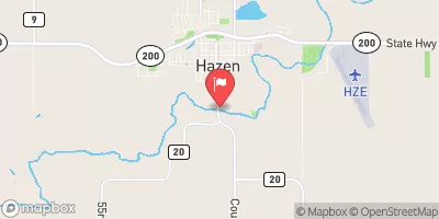
 Knife River At Hazen
|
48cfs |
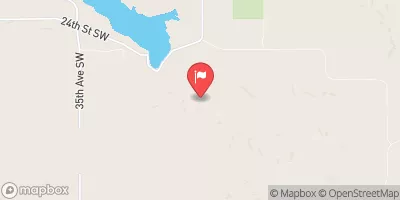
 Square Butte Creek Below Center
|
2cfs |
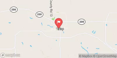
 Spring Creek At Zap
|
5cfs |
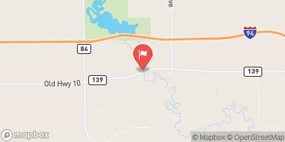
 Knife River Nr Golden Valley
|
27cfs |
 Sweetbriar Creek Nr Judson
|
3cfs |
 Burnt Creek Nr Bismarck
|
9cfs |


 State Highway 200 Alternate Mercer County
 Northern Boundary Of Knife River Indian Villages National Historic Site To Southern Boundary Of Knife River Indian Villages National Historic Site