Summary
The ideal streamflow range for this run is between 2.5 and 4.5 feet, measured at the New Bethlehem gauge. This translates to a flow range of approximately 200-1000 cfs. The river is rated as Class II-III, offering exciting rapids and obstacles for intermediate to advanced paddlers.
The segment mileage for this run is approximately 8.5 miles, with an average gradient of 20 feet per mile. The river features several notable rapids, including Double Drop, Rattlesnake, Bowtie, and Bull Rapids. These rapids offer challenges such as narrow channels, steep drops, and technical maneuvers.
There are certain regulations that paddlers must follow when visiting this area. Camping is not allowed along the riverbank, and fires must be contained to designated fire rings. All paddlers must wear a properly fitting personal flotation device, and alcohol is not permitted on the river. Additionally, paddlers must obtain a permit from the Pennsylvania Fish and Boat Commission to use the river.
Overall, the Whitewater River run from Howe Bridge (TR 342) to Piney Reservoir is a thrilling adventure for intermediate to advanced paddlers. With the ideal streamflow range, exciting rapids, and necessary regulations, this run is a must-visit destination for anyone interested in whitewater paddling in Pennsylvania.
°F
°F
mph
Wind
%
Humidity
15-Day Weather Outlook
River Run Details
| Last Updated | 2026-02-07 |
| River Levels | 381 cfs (2.77 ft) |
| Percent of Normal | 21% |
| Status | |
| Class Level | ii-iii |
| Elevation | ft |
| Streamflow Discharge | cfs |
| Gauge Height | ft |
| Reporting Streamgage | USGS 03030500 |
5-Day Hourly Forecast Detail
Nearby Streamflow Levels
 Clarion River Near Piney
|
7080cfs |
 Clarion River At Cooksburg
|
5300cfs |
 Redbank Creek At Brookville
|
2890cfs |
 Redbank Creek At St. Charles
|
5970cfs |
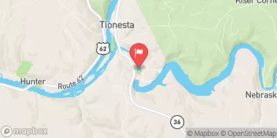 Tionesta Creek At Tionesta Creek Dam
|
632cfs |
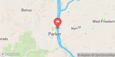 Allegheny River At Parker
|
63200cfs |


 Howe Bridge (Tr 342), Clarion County To Confluence With Piney Reservoir
 Cook Forest State Park
 State Game Lands 074
 State Game Lands 266
 State Game Lands 063
 State Game Lands 283