Summary
The rapids are rated Class II-III and are mostly concentrated in the first half of the run. The river features some unique obstacles such as the "Goosenecks" which offer stunning views but require careful navigation. The best time to float this section of water is from April to June when water levels are high, with recommended flows between 500-2000 cfs. This river run is suitable for intermediate paddlers and is a great option for a weekend trip.
°F
°F
mph
Wind
%
Humidity
15-Day Weather Outlook
River Run Details
| Last Updated | 2023-06-13 |
| River Levels | 530 cfs (5.5 ft) |
| Percent of Normal | 187% |
| Optimal Range | 500-8000 cfs |
| Status | Runnable |
| Class Level | II |
| Elevation | 4,067 ft |
| Run Length | 27.0 Mi |
| Gradient | 8 FPM |
| Streamflow Discharge | 587 cfs |
| Gauge Height | 5.7 ft |
| Reporting Streamgage | USGS 09379500 |
5-Day Hourly Forecast Detail
Nearby Streamflow Levels
Area Campgrounds
| Location | Reservations | Toilets |
|---|---|---|
 Sand Island
|
||
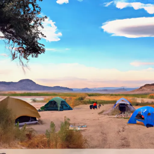 Sand Island Campground
|
||
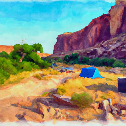 Lower Butler Wash Camp
|
||
 Comb Wash Camp 3
|
||
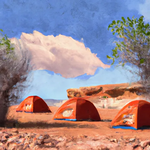 Comb Wash camp 1
|
||
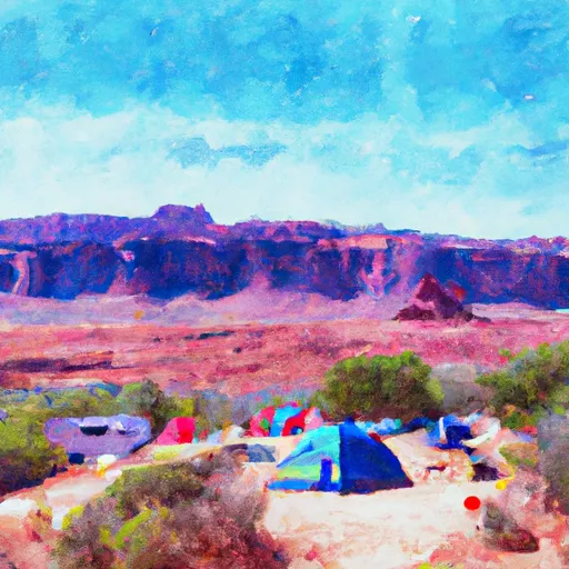 Comb Wash Camp 2
|


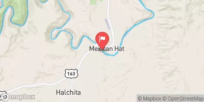
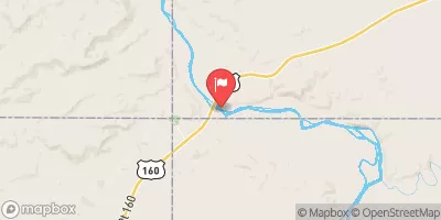
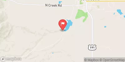
 Sand Island to Mexican Hat
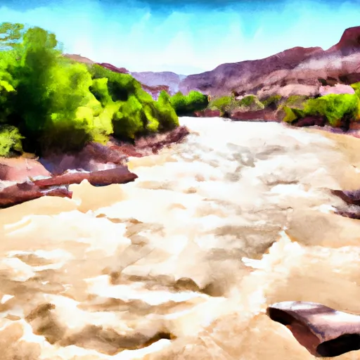 San Juan River