Summary
The ideal streamflow range for this river run is between 1,000 and 4,000 cubic feet per second (cfs), with the best time to visit being after rainfall or during the spring season. The river is rated as a Class II-III, making it suitable for intermediate-level paddlers. The segment mileage for this river run is approximately 8 miles, stretching from the Hwy 96 Bridge to the Neches River Saltwater Barrier.
The Whitewater River Run features several rapids and obstacles, including the "Big Nasty" rapid, which is a Class III rapid with a large rock in the middle of the channel that creates a challenging drop. Other notable rapids include "S-Turn Rapid" and "Lower Falls Rapid." Paddlers should be aware of low-hanging branches and debris in the river, particularly after heavy rainfall.
Specific regulations for this area include a requirement for personal flotation devices for all paddlers, as well as a ban on alcohol consumption while on the river. Paddlers are also required to obtain a permit from the Angelina-Neches-Dam B Association before embarking on the river run. Overall, the Whitewater River Run offers a thrilling adventure for intermediate-level paddlers seeking a challenging and scenic river run in Texas.
°F
°F
mph
Wind
%
Humidity
15-Day Weather Outlook
River Run Details
| Last Updated | 2026-02-07 |
| River Levels | 2990 cfs (7.17 ft) |
| Percent of Normal | 23% |
| Status | |
| Class Level | ii-iii |
| Elevation | ft |
| Run Length | 55.0 Mi |
| Streamflow Discharge | cfs |
| Gauge Height | ft |
| Reporting Streamgage | USGS 08041000 |
5-Day Hourly Forecast Detail
Nearby Streamflow Levels
 Neches Rv At Evadale
|
2120cfs |
 Village Ck Nr Kountze
|
402cfs |
 Pine Island Bayou Abv Bi Pump Plant
|
253cfs |
 Neches Rv Saltwater Barrier At Beaumont
|
3270cfs |
 Cow Bayou Nr Mauriceville
|
6cfs |
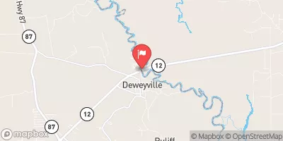 Sabine Rv Nr Ruliff
|
1460cfs |


 US 96 Hardin County
 Hwy 96 Bridge To Neches River Saltwater Barrier