Summary
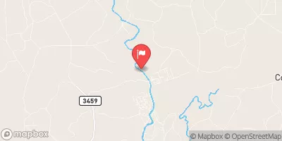
The ideal streamflow range for this section of the river is between 500-1000 cfs. This segment of the river is rated Class II-III, providing a moderate challenge for experienced rafters and thrill-seekers alike. The run covers approximately 6 miles, featuring several rapids and obstacles such as "The Ledge," "Bumper," and "The Chute."
The Trinity River Authority manages the Whitewater River Run area and has specific regulations in place to ensure safety and preserve the natural environment. Visitors are required to obtain a permit before entering the area and follow strict guidelines for camping, hiking, and fishing. Visitors should also take precautions to prevent littering and avoid disturbing the wildlife in the area.
In conclusion, the Whitewater River Run Preserve Boundary to Confluence with Trinity River in Texas is an exciting and challenging whitewater rafting destination. With its ideal streamflow range, class rating, and specific rapids and obstacles, it provides a thrilling adventure for rafters of all skill levels. However, visitors must adhere to the specific regulations in place to ensure safety and preserve the natural environment.
°F
°F
mph
Wind
%
Humidity
15-Day Weather Outlook
River Run Details
| Last Updated | 2026-02-07 |
| River Levels | 51 cfs (9.2 ft) |
| Percent of Normal | 13% |
| Status | |
| Class Level | ii-iii |
| Elevation | ft |
| Run Length | 27.0 Mi |
| Streamflow Discharge | cfs |
| Gauge Height | ft |
| Reporting Streamgage | USGS 08066300 |
5-Day Hourly Forecast Detail
Nearby Streamflow Levels
 Menard Ck Nr Rye
|
35cfs |
 Trinity Rv Nr Goodrich
|
6920cfs |
 Trinity Rv At Romayor
|
6560cfs |
 Long King Ck At Livingston
|
7cfs |
 E Fk San Jacinto Rv Nr Cleveland
|
39cfs |
 Kickapoo Ck At Onalaska
|
2cfs |


 Preserve Boundary In The Big Sandy Unit To Confluence With Trinity River
 Preserve Boundary Of The Big Sandy Unit To Confluence With Village Creek