Summary
The ideal streamflow range for this section of the river is between 1,000 and 6,000 cfs. The entire run is rated as Class III-IV, with some sections reaching Class V. The segment covers approximately 25 miles from the Fruita area to the eastern park boundary.
One of the most notable rapids on this run is called Skull Rapid, which is a Class V rapid located about 16 miles into the run. It is recommended that only experienced whitewater paddlers attempt this rapid. Other notable rapids include Funnel Falls, which is a Class IV rapid with a steep drop, and Bowknot Bend, which is a Class III rapid with several large waves.
There are specific regulations to the area that visitors must abide by. One of the most important rules is that all boats must be inspected for invasive species before entering the river. Additionally, all visitors are required to have a backcountry permit. These permits can be obtained at the visitor center or online through the National Park Service website.
Overall, the Whitewater River Run is a challenging and exciting destination for experienced whitewater paddlers. Visitors should be aware of the specific regulations and should only attempt the more difficult rapids if they have the necessary skills and experience.
°F
°F
mph
Wind
%
Humidity
15-Day Weather Outlook
River Run Details
| Last Updated | 2026-02-07 |
| River Levels | 56 cfs (4.09 ft) |
| Percent of Normal | 100% |
| Status | |
| Class Level | iii-iv |
| Elevation | ft |
| Run Length | 9.0 Mi |
| Streamflow Discharge | cfs |
| Gauge Height | ft |
| Reporting Streamgage | USGS 09330000 |
5-Day Hourly Forecast Detail
Nearby Streamflow Levels
Area Campgrounds
| Location | Reservations | Toilets |
|---|---|---|
 Fruita Campground
|
||
 Fruita - Capitol Reef National Park
|
||
 SINGLETREE CAMPGROUND
|
||
 Singletree
|
||
 Mix Pad Dispersed
|
||
 Lower Bowns
|



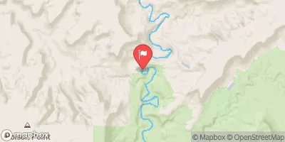
 Fruita Area To Eastern Park Boundary
 Fremont River 2 (Fremont Gorge)
 Western Boundary Of Park To Fruita Area
 Fremont River 3 (A)