2026-02-19T05:00:00-07:00
* WHAT...Snow expected. Total snow accumulations between 7 and 14 inches, with locally up to 18 inches along the Manti-Skyline and Wasatch Plateau. * WHERE...Central Mountains and Wasatch Plateau/Book Cliffs. * WHEN...Until 5 AM MST Thursday. * IMPACTS...Winter driving conditions are likely. Traction laws may be enacted.
Summary
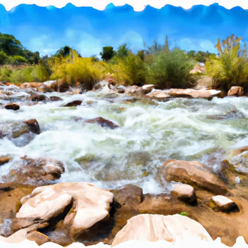
The ideal streamflow range for this run is between 300-800 cfs, with the best time to run the creek being in the spring or early summer. The creek is rated as a Class III-IV run, meaning it is suitable for intermediate to advanced paddlers who are comfortable with navigating technical rapids and obstacles.
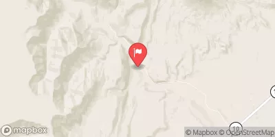
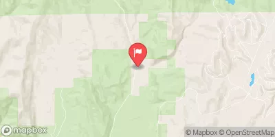
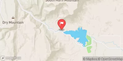
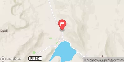
The segment mileage for the Quitchupah Creek run is approximately 8 miles, starting at the upper put-in and ending at the lower take-out. This stretch of the river features several exciting rapids and obstacles, including the Class IV "Toilet Bowl" and the technical Class III "S-Turn" rapid. Paddlers should also be aware of potential strainers and log jams along the creek, which can pose significant hazards.
In terms of regulations, Quitchupah Creek is located on public lands managed by the Bureau of Land Management (BLM). Paddlers are required to obtain a permit from the BLM before running the creek, and are also expected to follow Leave No Trace principles and other best practices to minimize the impact on the surrounding environment. Additionally, it is important to check current water levels and weather conditions before attempting this run, as high water or inclement weather can create dangerous conditions on the creek.
Overall, Quitchupah Creek is a challenging and rewarding whitewater river run that offers a thrilling experience for experienced paddlers. However, it is important to be prepared and aware of the specific regulations and hazards associated with this run in order to ensure a safe and enjoyable trip.
°F
°F
mph
Wind
%
Humidity
15-Day Weather Outlook
River Run Details
| Last Updated | 2025-06-28 |
| River Levels | 55 cfs (3.26 ft) |
| Percent of Normal | 44% |
| Status | |
| Class Level | iii-iv |
| Elevation | ft |
| Streamflow Discharge | cfs |
| Gauge Height | ft |
| Reporting Streamgage | USGS 10205030 |



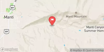
 Quitchupah Creek
 I-70 to Tomsich Butte