Summary
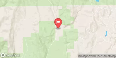
The ideal streamflow range for this section of the river is between 200-400 cfs, which can be found during the spring run-off season from April to June. The class rating of this section of the river is a solid Class III, with some Class IV rapids. The total segment mileage is approximately 13 miles, with a put-in at the Singletree Campground and a take-out at the town of Hanksville.
Some of the notable rapids and obstacles on this section of the river include the Red Slide and Slide Rapid, both Class IV rapids that require technical maneuvering skills. Other challenging rapids include the Razorback and the Kitten, both Class III rapids that require precise navigation.
There are specific regulations to the area that should be followed to ensure safety and preservation of the environment. The use of motorized boats is prohibited, and all boaters must obtain a permit from the Utah Bureau of Land Management before embarking on the run. Additionally, all boaters must carry a personal flotation device and a properly secured rescue throw bag.
°F
°F
mph
Wind
%
Humidity
15-Day Weather Outlook
River Run Details
| Last Updated | 2025-06-28 |
| River Levels | 56 cfs (4.09 ft) |
| Percent of Normal | 99% |
| Status | |
| Class Level | iii-iv |
| Elevation | ft |
| Streamflow Discharge | cfs |
| Gauge Height | ft |
| Reporting Streamgage | USGS 09330000 |
5-Day Hourly Forecast Detail
Nearby Streamflow Levels
Area Campgrounds
| Location | Reservations | Toilets |
|---|---|---|
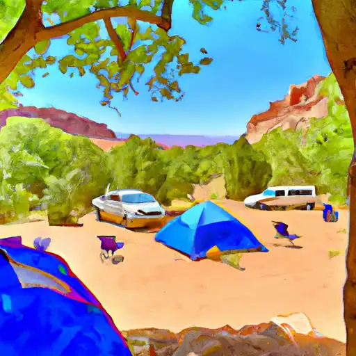 Fruita - Capitol Reef National Park
|
||
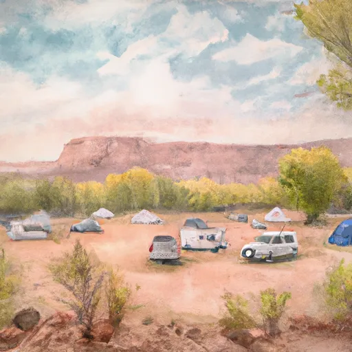 Fruita Campground
|
||
 Singletree
|
||
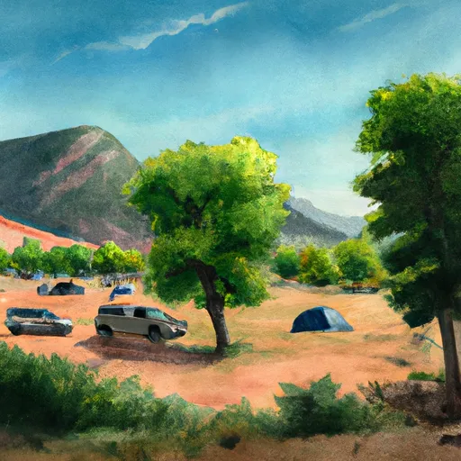 SINGLETREE CAMPGROUND
|
||
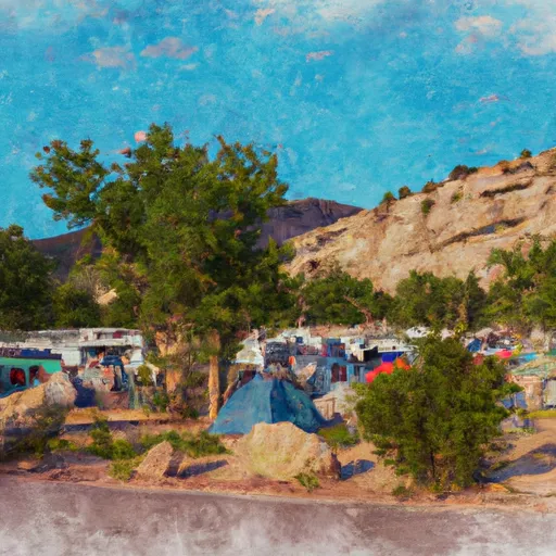 SUNGLOW CAMPGROUND
|
||
 Sunglow
|



 Fremont River 2 (Fremont Gorge)
 Fremont Canyon (Torrey to Capitol Reef)
 Fish Creek