Summary
The ideal streamflow range for this river run is between 6,000 and 25,000 cubic feet per second (cfs). The river run is classified as class II-IV, depending on the section being navigated. The segment mileage varies depending on the section, with the most popular section being the Westwater Canyon segment, which is 17 miles long.
This section of the Colorado River boasts several notable rapids, including Skull Rapid, Sock-It-To-Me, and Little-D. The rapids range in difficulty from class II to class IV, making it suitable for both novice and experienced paddlers. In addition to rapids, the scenery in Westwater Canyon is breathtaking, with towering red rock cliffs and desert landscapes.
There are specific regulations in place for this area, including a permit system for overnight trips and a limit on the number of people allowed in the canyon at any given time. It is also important to note that the Colorado River runs through several wilderness areas, so visitors are encouraged to follow Leave No Trace principles to minimize their impact on the environment.
°F
°F
mph
Wind
%
Humidity
15-Day Weather Outlook
River Run Details
| Last Updated | 2025-06-28 |
| River Levels | 24300 cfs (17.23 ft) |
| Percent of Normal | 41% |
| Status | |
| Class Level | ii-iv |
| Elevation | ft |
| Streamflow Discharge | cfs |
| Gauge Height | ft |
| Reporting Streamgage | USGS 09185600 |
5-Day Hourly Forecast Detail
Nearby Streamflow Levels
Area Campgrounds
| Location | Reservations | Toilets |
|---|---|---|
 Gold Bar Recreation Site
|
||
 Williams Bottom
|
||
 Williams Bottom Camping Area
|
||
 Moonflower Canyon
|
||
 Kane Springs Campground
|
||
 Jaycee Park Campground
|


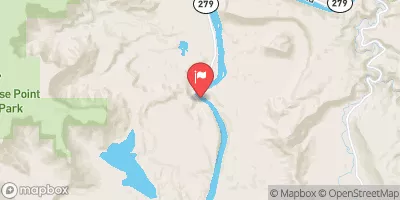
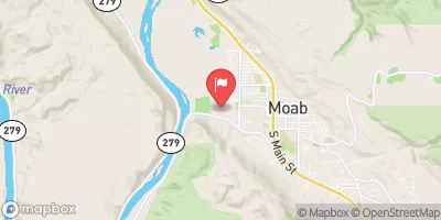
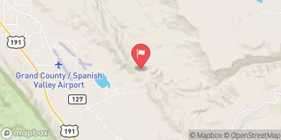
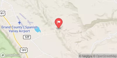
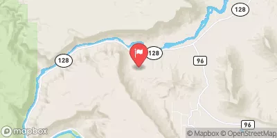
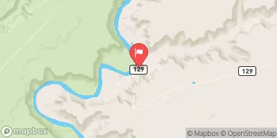
 Potash Road Grand County
 Takeout Beach
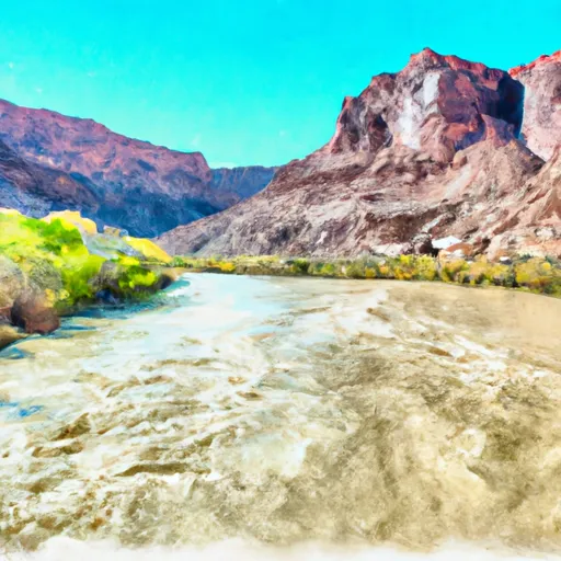 Colorado River
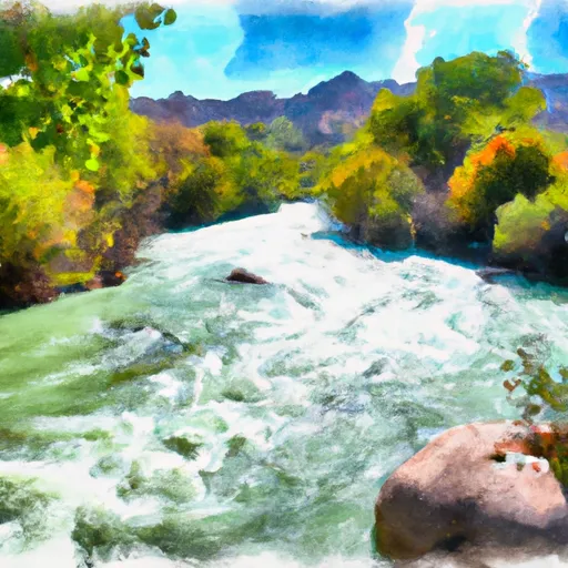 Kane Springs, Colo. River Seg. 4
 Cataract Canyon
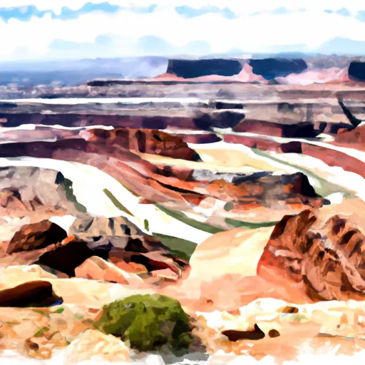 Dead Horse Point State Park
 Sand Flats Recreation Area
 Arches National Park
 Old City Park