Summary
The river has several Class III and IV rapids, including the notorious "Bermuda Triangle." The best time to float this section is in the spring when the water levels are high, with recommended CFS (cubic feet per second) between 500-1000. The river run difficulty is rated as advanced, and paddlers should be prepared for technical maneuvers and potential hazards such as submerged rocks and tight canyon walls. Overall, the Timpoweap Canyon river run is a challenging and rewarding experience for those seeking a thrilling whitewater adventure.
°F
°F
mph
Wind
%
Humidity
15-Day Weather Outlook
River Run Details
| Last Updated | 2023-06-13 |
| River Levels | 60 cfs (6.76 ft) |
| Percent of Normal | 125% |
| Optimal Range | 400-1400 cfs |
| Status | Too Low |
| Class Level | V |
| Elevation | 2,794 ft |
| Run Length | 5.0 Mi |
| Gradient | 78 FPM |
| Streamflow Discharge | 56.1 cfs |
| Gauge Height | 6.9 ft |
| Reporting Streamgage | USGS 09408135 |
5-Day Hourly Forecast Detail
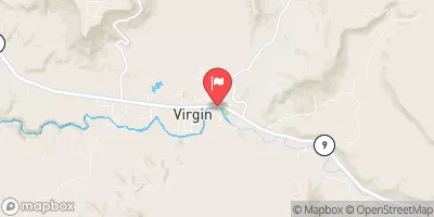
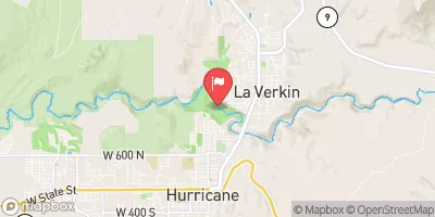
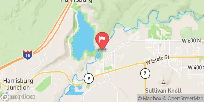
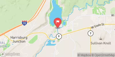
Nearby Streamflow Levels
Area Campgrounds
| Location | Reservations | Toilets |
|---|---|---|
 Camping spot
|
||
 BLM Campground
|
||
 BLM Dispersed Camping
|
||
 Sand Cove Primitive Camping Area
|
||
 Campground 4
|
||
 Coal Pits Wash
|


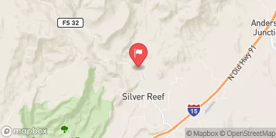
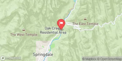
 Timpoweap Canyon
 Virgin River
 Quail Creek State Park
 Sand Hollow State Park
 Wilderness Cottonwood Forest