
2026-01-02T11:00:00-07:00
* WHAT...Snow expected. Snow accumulations between 4 to 12 inches expected with locally higher totals up to 15 inches in the upper Cottonwoods and high Uintas. * WHERE...Wasatch Mountains South of I-80 and Western Uinta Mountains. * WHEN...Until 11 AM MST Friday. * IMPACTS...Winter driving conditions are expected. * ADDITIONAL DETAILS...Snow levels will increase through the day today, peaking around 8500 feet in the evening before dropping to around 7000 feet early Friday morning. Snowfall accumulations will be heavily dependent on elevation as a result.
Summary
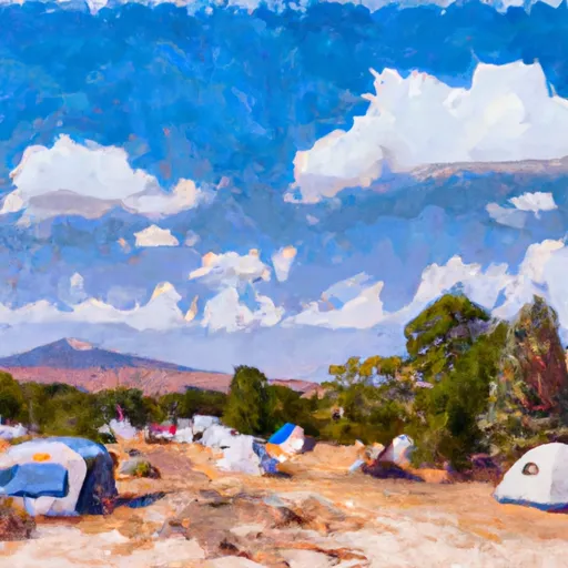
This section of the river is class II with some rapids up to class III. The run has several obstacles, including boulder gardens and strainers. The best time to float this section of the river is from May to early July with a recommended flow of 200-500 CFS. The water temperature can be chilly, so prepare accordingly. Overall, this is a fun and challenging river run suitable for intermediate paddlers.
River Run Details
| Last Updated | 2023-06-13 |
| River Levels | 60 cfs (5.17 ft) |
| Percent of Normal | 103% |
| Optimal Range | 150-350 cfs |
| Status | Too Low |
| Class Level | II- to II+ |
| Elevation | 7,324 ft |
| Run Length | 8.5 Mi |
| Streamflow Discharge | 53.5 cfs |
| Gauge Height | 5.0 ft |
| Reporting Streamgage | USGS 09296800 |

Weather Forecast
Nearby Streamflow Levels
Area Campgrounds
| Location | Reservations | Toilets |
|---|---|---|
 Uinta Canyon Campground
|
||
 Uinta River Group Campground
|
||
 Wandin Campground
|
||
 Pole Creek Lake Campground
|
||
 Reservoir Campground
|
||
 Reservoir
|
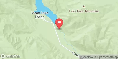
 Uinta River (Uinta Valley Campground to Power Plant)
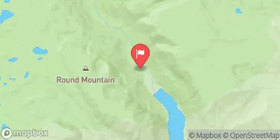
 Yellowstone River (Swift Creek to Reservoir)