2026-02-19T05:00:00-07:00
* WHAT...Heavy snow. Total snow accumulations between 1 and 2 feet with locally higher accumulations up to 30 inches across the upper Cottonwoods. * WHERE...The Wasatch Mountains, and Western Uinta Mountains. * WHEN...Until 5 AM MST Thursday. * IMPACTS...Winter driving conditions can be expected on all mountain routes. Traction restrictions are likely.
Summary
The river features numerous class IV and V rapids, including the notorious "Death Trap" and "No Name" rapids. The best time to run this section of river is in the late spring or early summer, when water levels are typically around 500-1000 cfs. However, the flow can vary greatly depending on snowmelt and rainfall. Paddlers should be prepared for steep drops, tight turns, and powerful hydraulics. This is not a run for beginners or those without strong whitewater skills.
°F
°F
mph
Wind
%
Humidity
15-Day Weather Outlook
River Run Details
| Last Updated | 2023-06-13 |
| River Levels | 45 cfs (1.92 ft) |
| Percent of Normal | 81% |
| Optimal Range | 450-1500 cfs |
| Status | Too Low |
| Class Level | II to II+ |
| Elevation | 8,824 ft |
| Run Length | 9.0 Mi |
| Gradient | 56 FPM |
| Streamflow Discharge | 24.5 cfs |
| Gauge Height | 1.8 ft |
| Reporting Streamgage | USGS 09217900 |


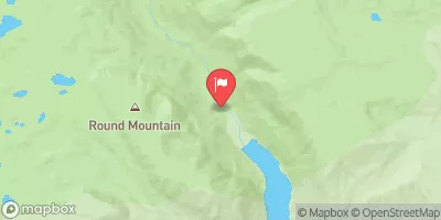
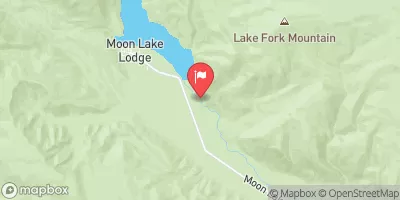
 Little Lyman Lake
 Little Lyman Lake Campground
 East Fork Bear River
 Christmas Meadows
 Christmas Meadows Campground
 East Fork Bear River Campground
 West Fork of the Blacks Fork
 Wilderness Boundary To Trailhead
 Source To Wilderness Boundary
 Source To Confluence With East Fork Bear
 Source To Confluence With Little East Fork
 East Fork of the Blacks Fork
 Little Lyman Lake
 Baker Lake
 Hayden Fork River
 Amethyst Lake
 Meeks Cabin