Summary
The difficulty level is class III-IV, making it best suited for experienced rafters and kayakers with intermediate to advanced skills. The river offers a variety of obstacles, including rapids and hydraulics, which require careful navigation. The best time of year to float this section of water is from April to June, when water levels are high, and flows range from 3,000 to 8,000 cfs. It is essential to check the water levels before planning a trip, as they can vary significantly based on weather conditions.
°F
°F
mph
Wind
%
Humidity
15-Day Weather Outlook
River Run Details
| Last Updated | 2023-06-13 |
| River Levels | 4620 cfs (3.06 ft) |
| Percent of Normal | 125% |
| Optimal Range | 1000-16000 cfs |
| Status | Runnable |
| Class Level | III to IV |
| Elevation | 4,094 ft |
| Run Length | 17.0 Mi |
| Gradient | 10 FPM |
| Streamflow Discharge | 2100 cfs |
| Gauge Height | 2.1 ft |
| Reporting Streamgage | USGS 09180500 |
5-Day Hourly Forecast Detail
Nearby Streamflow Levels
Area Campgrounds
| Location | Reservations | Toilets |
|---|---|---|
 May Flats
|
||
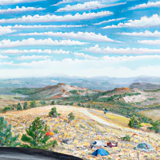 Overlook
|
||
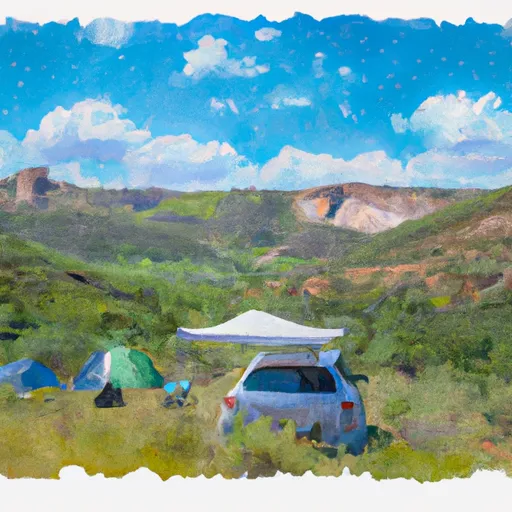 Knowles 20
|
||
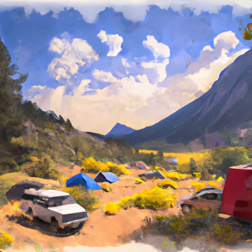 Knowles 19
|
||
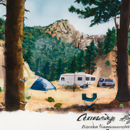 Knowles 5
|
||
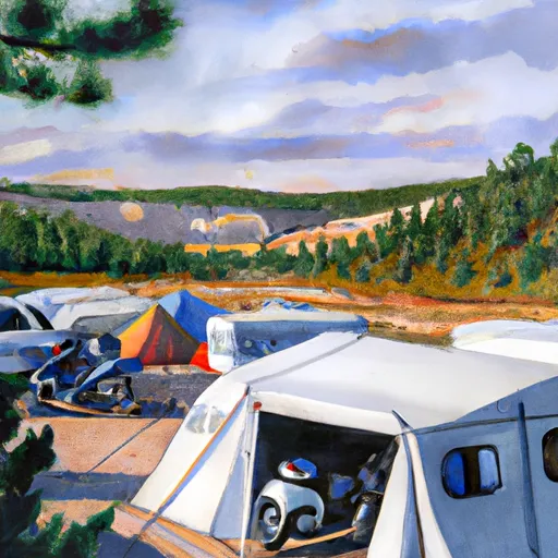 Knowles 6
|


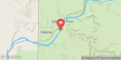
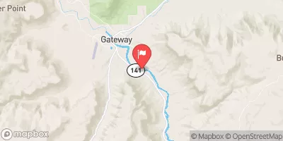
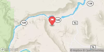
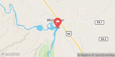
 Westwater Ranger Station
 Westwater Grand County
 Cisco Takeout
 Westwater
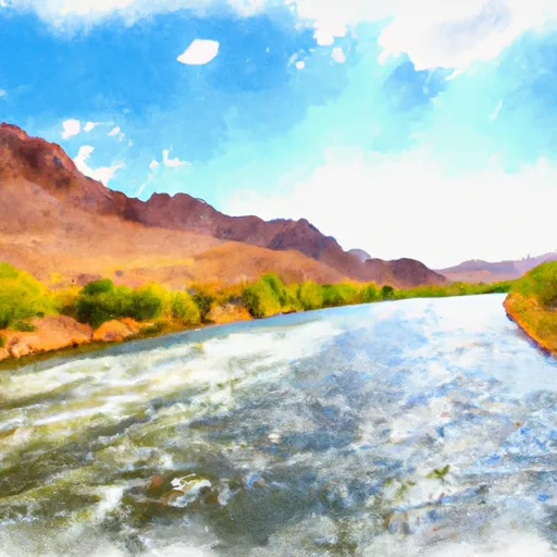 Colorado River
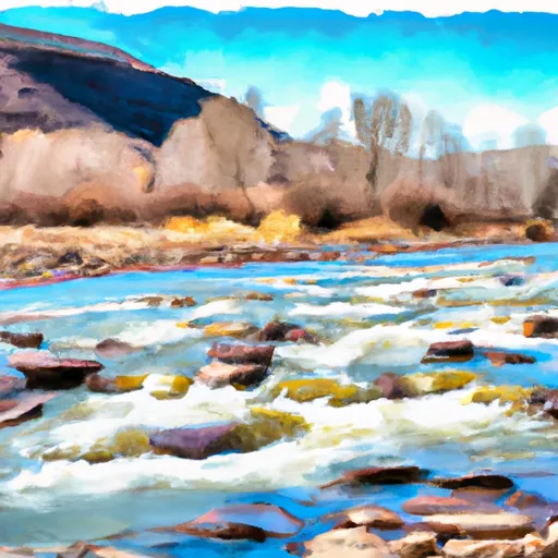 Little Dolores, Colo. River Segment 2
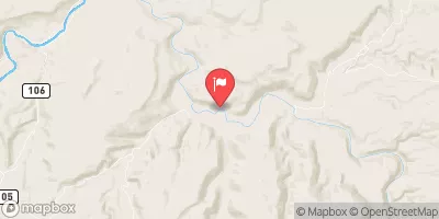
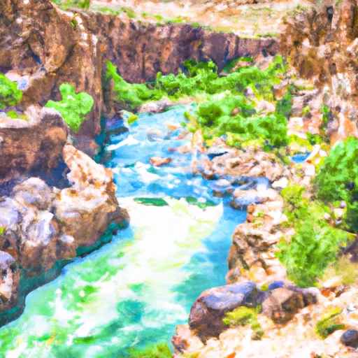 Marble Canyon, Colo. River Segment 2
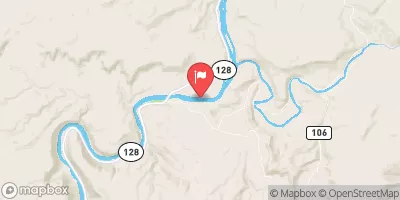
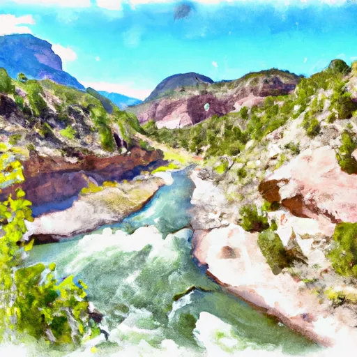 Star Canyon, Colo. River Segment 2
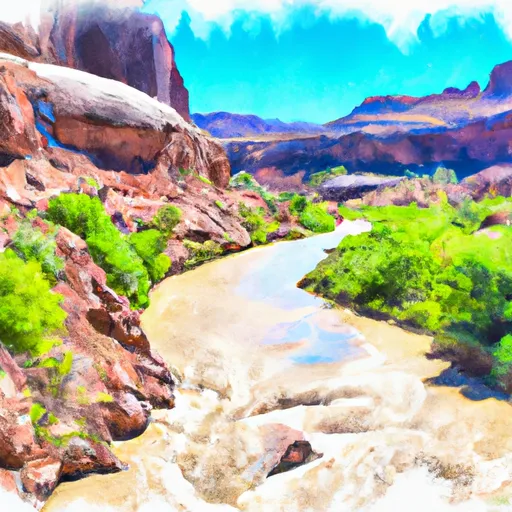 Colorado River Segment 2