
Summary
This section has some obstacles such as boulders and log jams, but they are easily navigated. The best time to float this section is in late spring or early summer, when the water levels are high and the rapids are more challenging. A flow rate of 1,500-2,000 cfs is recommended for a fun and safe trip. Overall, this is a great river run for intermediate paddlers looking for an exciting day on the water.
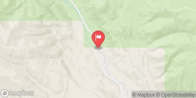
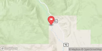
River Run Details
| Last Updated | 2023-06-13 |
| River Levels | 62 cfs (5.22 ft) |
| Percent of Normal | 132% |
| Optimal Range | 100-2000 cfs |
| Status | Too Low |
| Class Level | II to II+ |
| Elevation | 7,659 ft |
| Run Length | 2.2 Mi |
| Gradient | 100 FPM |
| Streamflow Discharge | 29 cfs |
| Gauge Height | 4.8 ft |
| Reporting Streamgage | USGS 09292000 |

Weather Forecast
Nearby Streamflow Levels
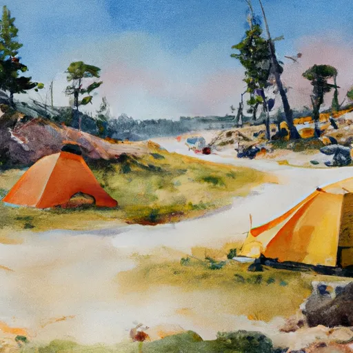
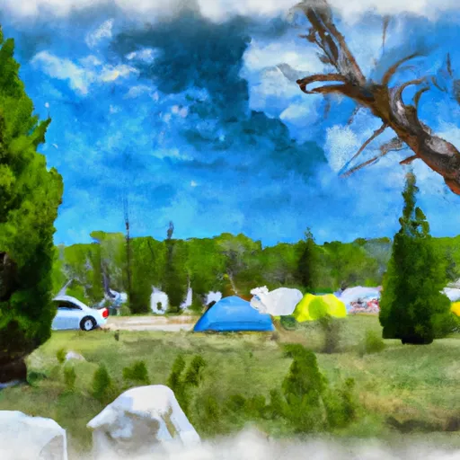
Area Campgrounds
| Location | Reservations | Toilets |
|---|---|---|
 Swift Creek
|
||
 Reservoir Campground
|
||
 Reservoir
|
||
 Yellowstone Campground
|
||
 Yellowstone
|
||
 Yellowstone Group Campground
|
 Yellowstone River (Swift Creek to Reservoir)
 Uinta River (Uinta Valley Campground to Power Plant)