2026-02-23T19:00:00-05:00
* WHAT...Snow expected. Total snow accumulations between 3 and 5 inches. Winds gusting as high as 35 mph. * WHERE...Rutland and Windsor Counties. * WHEN...From 1 AM to 7 PM EST Monday. * IMPACTS...Travel could be very difficult. Areas of blowing snow could significantly reduce visibility. The hazardous conditions could impact the Monday morning and evening commutes.
Summary
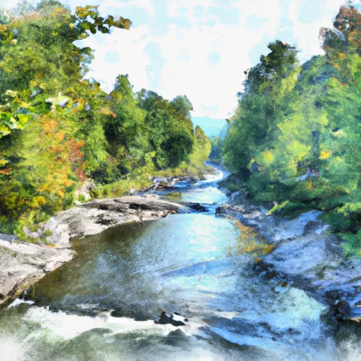
The ideal streamflow range for this run is between 600-3000 cubic feet per second (cfs). The section of the river is rated as Class II to III, making it suitable for intermediate and experienced paddlers.
The segment mileage for this run is approximately 6.5 miles. The river is characterized by several rapids and obstacles, including the Lower and Upper Gorge, the Punch Bowl, and the S-Turn. The Lower Gorge features an exhilarating drop of 20 feet and is considered the highlight of the run.
There are specific regulations to the area, including a daily quota of 50 paddlers, which is enforced during peak season. Paddlers must also comply with Vermont boating regulations, including wearing personal flotation devices and carrying sound-producing devices.
Overall, the Headwaters to Crossing of Route 100 near Route 155 section of the White River is a challenging and exciting run that offers beautiful scenery and thrilling rapids. Paddlers should be experienced and prepared for the Class II to III rapids and the various obstacles along the way.
°F
°F
mph
Wind
%
Humidity
15-Day Weather Outlook
River Run Details
| Last Updated | 2026-02-02 |
| River Levels | 49 cfs (4.19 ft) |
| Percent of Normal | 122% |
| Status | |
| Class Level | ii |
| Elevation | ft |
| Streamflow Discharge | cfs |
| Gauge Height | ft |
| Reporting Streamgage | USGS 01155500 |
5-Day Hourly Forecast Detail
Nearby Streamflow Levels
Area Campgrounds
| Location | Reservations | Toilets |
|---|---|---|
 Greendale
|
||
 Greendale Campground
|
||
 Horseshoe Acres Campground
|
||
 279 Campsite
|
||
 279a site #1
|
||
 Hapgood Pond Recreation Area
|


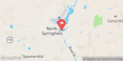
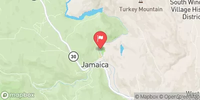
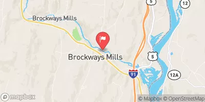
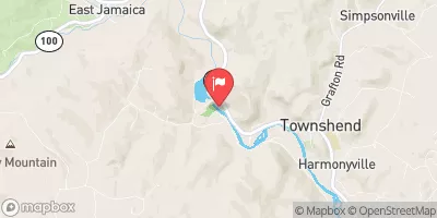
 Ice House Road Londonderry
 Headwaters To Crossing Of Route 100 Near Route 155
 Confluence With Otter Creek To Ten Kilns Brook
 South Wallington To Emerald Lake
 Wilderness Big Branch
 Emerald Lake State Park
 Camp Plymouth State Park