2026-02-23T19:00:00-05:00
* WHAT...Snow expected. Total snow accumulations between 3 and 5 inches. Winds gusting as high as 35 mph. * WHERE...Rutland and Windsor Counties. * WHEN...From 1 AM to 7 PM EST Monday. * IMPACTS...Travel could be very difficult. Areas of blowing snow could significantly reduce visibility. The hazardous conditions could impact the Monday morning and evening commutes.
Summary
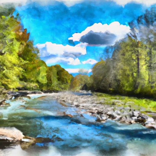
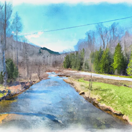
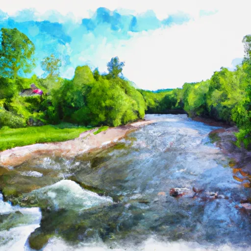
The ideal streamflow range for this run is between 250 and 1000 cfs. The class rating for this section of the river ranges from Class III to Class V, depending on the water level. The segment mileage for this run is approximately 5 miles.
This section of the Whitewater River features a number of challenging rapids and obstacles, including the notorious "Falls of Lana," a Class V drop that requires expert paddling skills to navigate safely. Other notable rapids include "Toaster," "Ledges," and "Reactor."
There are specific regulations in place for this area, including a ban on alcohol consumption and a requirement for all paddlers to wear appropriate safety gear, including helmets and personal flotation devices. Additionally, there are restrictions on camping and open fires in the surrounding area.
Overall, the Whitewater River Run is a thrilling and challenging whitewater destination that requires expert paddling skills and a respect for the natural environment. It is important for all visitors to follow regulations and safety guidelines to ensure a safe and enjoyable experience.
°F
°F
mph
Wind
%
Humidity
15-Day Weather Outlook
River Run Details
| Last Updated | 2026-02-02 |
| River Levels | 309 cfs (1.79 ft) |
| Percent of Normal | 62% |
| Status | |
| Class Level | iii-v |
| Elevation | ft |
| Streamflow Discharge | cfs |
| Gauge Height | ft |
| Reporting Streamgage | USGS 04282500 |
5-Day Hourly Forecast Detail
Nearby Streamflow Levels
Area Campgrounds
| Location | Reservations | Toilets |
|---|---|---|
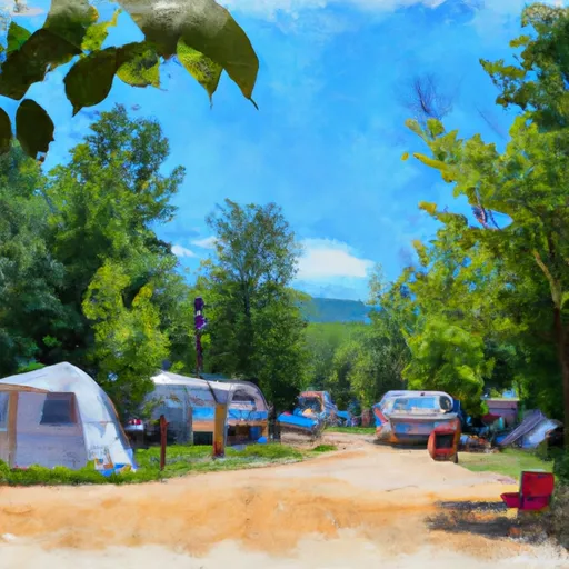 Country Village Campground
|
||
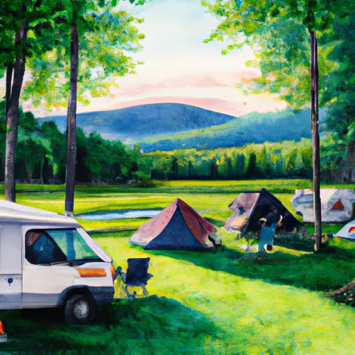 Silver Lake Campground
|
||
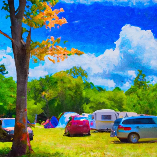 Branbury State Park
|
||
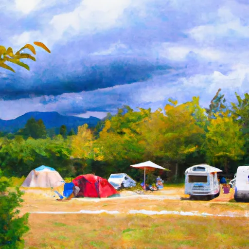 Moosalamoo
|
||
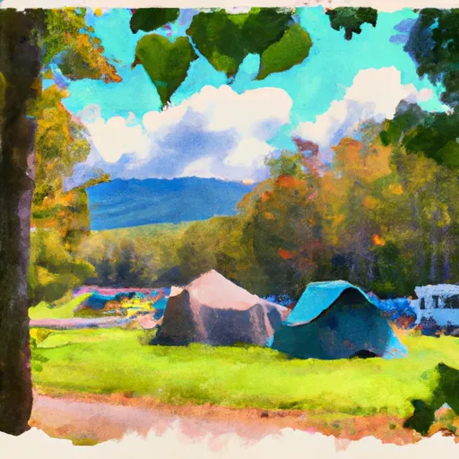 Moosalamoo Campground
|
||
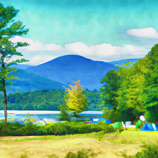 Lake Dunmore Kampersville
|


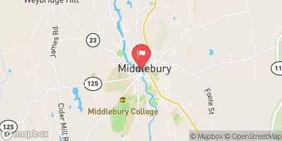
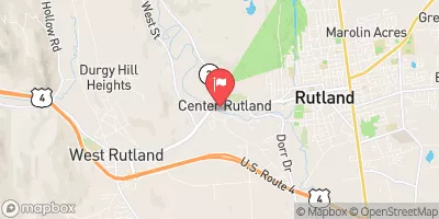
 Willowbrook Road Sudbury
 End Of Fs Road 243 To Neshobe River
 Headwaters To End Of Fs Road 243
 Confluence With Alder Creek To Confluence With Middlebury River