Summary
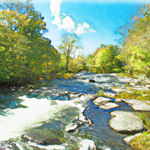
The ideal streamflow range for this run is between 500-1500 cfs, with the peak season being in the spring and early summer. The river has been given a class III-IV rating, making it a challenging run with several rapids and obstacles.
The segment mileage for this run is approximately 9 miles, starting at the Headwaters and ending at the Taftsville Bridge. The rapids on this run are named after their difficulty level, with notable ones being the "Jaws of Death" and "The Terminator."
There are specific regulations in place for this area to ensure the safety of those participating in the run. All participants are required to wear a personal flotation device (PFD) at all times while on the river. Additionally, there are specific take-out points designated for this run, and it is important to respect private property and only exit the river at these designated spots.
Overall, the Whitewater River run from Headwaters to Woodstock, VT is a challenging and exciting run for experienced whitewater enthusiasts. It is important to be aware of the ideal streamflow range, class rating, segment mileage, specific river rapids/obstacles, and regulations in the area before embarking on this adventure.
°F
°F
mph
Wind
%
Humidity
15-Day Weather Outlook
River Run Details
| Last Updated | 2026-01-20 |
| River Levels | 14 cfs (2.71 ft) |
| Percent of Normal | 66% |
| Status | |
| Class Level | iii-iv |
| Elevation | ft |
| Streamflow Discharge | cfs |
| Gauge Height | ft |
| Reporting Streamgage | USGS 01150900 |
5-Day Hourly Forecast Detail
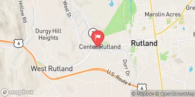
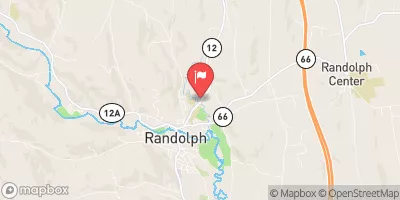
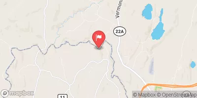
Nearby Streamflow Levels
Area Campgrounds
| Location | Reservations | Toilets |
|---|---|---|
 Gifford Woods State Park
|
||
 Calvin Coolidge State Park
|
||
 Silver Lake State Park
|
||
 Chittenden Brook
|
||
 Chittenden Brook Campground
|


 Headwaters To Woodstock, Vt
 Source Above Fr 55 To Proclamation Boundary (Stony Brook)