Summary
The ideal streamflow range for this run is between 200-400 cfs, which typically occurs during the spring and early summer months. The river is rated as a class III-IV, offering challenging rapids and obstacles for those seeking a thrill.
The total distance of the run is approximately 6 miles, with various segments along the way. The first segment, known as "The Gorge," is a mile-long stretch of continuous class III rapids. This section is followed by a brief calm section before reaching "The Ledges," a series of technical class IV rapids that require precise navigation. The final stretch of the run is a mix of class III and IV rapids before reaching the takeout in Manchester.
Specific river rapids and obstacles include "The Big Dipper," a large rapid with a significant drop and strong currents, and "The Fang," a technical rapid with a narrow channel and tight turns. It is important to note that the river is located on private property, and access to the river is limited. There are designated put-in and take-out areas that must be used, and a permit is required for access to the river.
In conclusion, the Whitewater River Run in Arlington, VT to Manchester, VT offers a challenging and exciting experience for experienced kayakers and rafters. The ideal streamflow range, class rating, segment mileage, specific river rapids and obstacles, and specific regulations to the area should all be considered before embarking on this adventure.
°F
°F
mph
Wind
%
Humidity
15-Day Weather Outlook
River Run Details
| Last Updated | 2026-02-02 |
| River Levels | 49 cfs (4.19 ft) |
| Percent of Normal | 122% |
| Status | |
| Class Level | iii-iv |
| Elevation | ft |
| Streamflow Discharge | cfs |
| Gauge Height | ft |
| Reporting Streamgage | USGS 01155500 |
5-Day Hourly Forecast Detail
Nearby Streamflow Levels
Area Campgrounds
| Location | Reservations | Toilets |
|---|---|---|
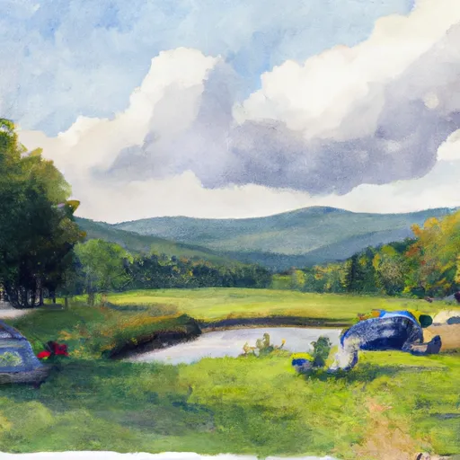 North Bourne Pond
|
||
 South Bourne Pond
|
||
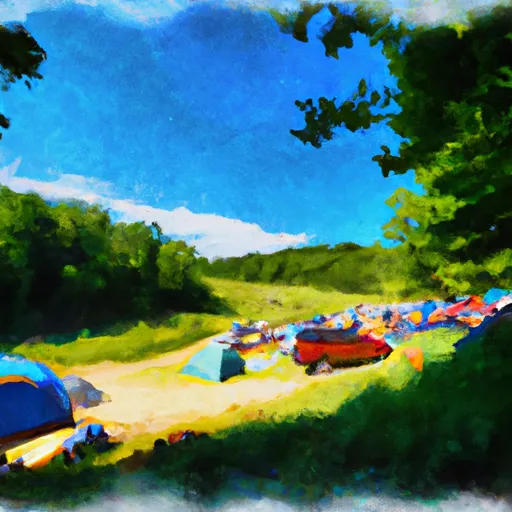 Stratton View Tenting Area
|
||
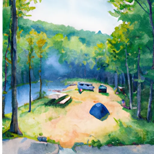 Emerald Lake State Park
|
||
 Hapgood Pond
|
||
 Hapgood Pond Recreation Area
|


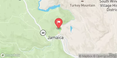
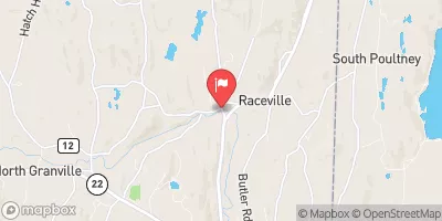
 Dufresne Pond Road Manchester
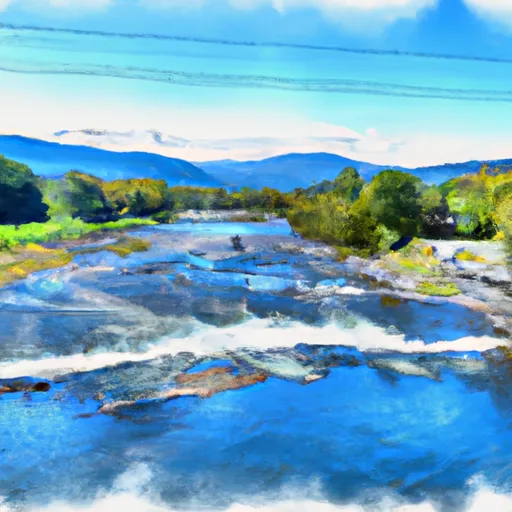 Arlington, Vt To Manchester, Vt
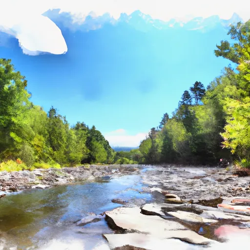 Wilderness Boundary To Confluence With Batten Kill
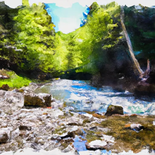 Lye Brook Wilderness Boundary To Confluence Of Batten Kill
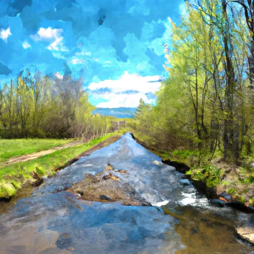 Headwaters To End Of Kendall Farm Road
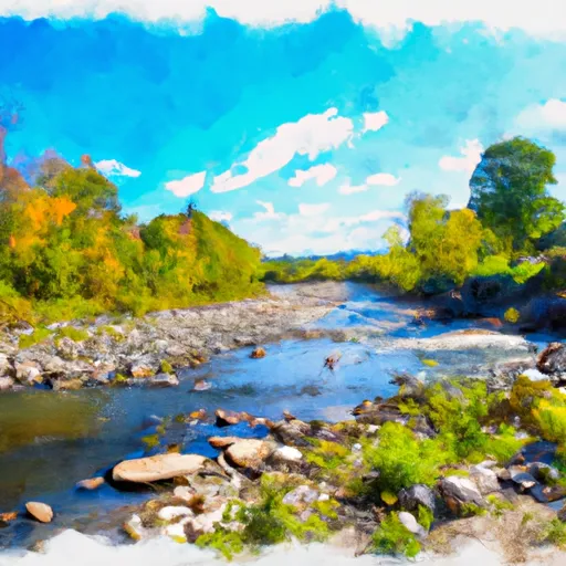 End Of Kendall Farm Road To Confluence With West River
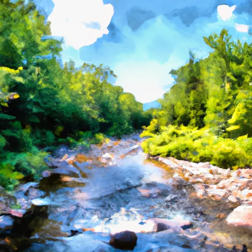 Headwaters To Wilderness Boundary
 Emerald Lake State Park
 Wilderness Peru Peak
 Wilderness Lye Brook
 Wilderness Big Branch