Summary
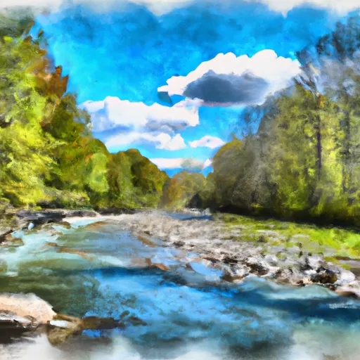
The Confluence with Alder Creek to Confluence with Middlebury River segment is about 6.2 miles long and is classified as Class III to IV, depending on the water level and the specific rapids. The ideal streamflow range for this section is between 800 to 1500 cfs, depending on the skill level of the paddlers. This section features several challenging rapids, including the Whiteface Falls, the Meatgrinder, and the Slalom Rapid.
There are specific regulations for this area that paddlers should be aware of. The river is open year-round, but the Vermont Fish and Wildlife Department recommends that paddlers avoid this section during high water levels. Paddlers should also wear a personal flotation device and a helmet at all times. There are no fees or permits required to paddle this section, but it is important to respect private property along the riverbank.
In conclusion, the Confluence with Alder Creek to Confluence with Middlebury River segment of the Whitewater River in Vermont is a thrilling and challenging run for experienced paddlers. The ideal streamflow range, class rating, segment mileage, specific river rapids/obstacles, and specific regulations should be carefully considered before attempting this section. Paddlers should always prioritize safety and respect for the environment and private property.
°F
°F
mph
Wind
%
Humidity
15-Day Weather Outlook
River Run Details
| Last Updated | 2026-02-02 |
| River Levels | 309 cfs (1.79 ft) |
| Percent of Normal | 62% |
| Status | |
| Class Level | iii |
| Elevation | ft |
| Streamflow Discharge | cfs |
| Gauge Height | ft |
| Reporting Streamgage | USGS 04282500 |
5-Day Hourly Forecast Detail
Nearby Streamflow Levels
Area Campgrounds
| Location | Reservations | Toilets |
|---|---|---|
 Sparks Landing Primitive Campsite
|
||
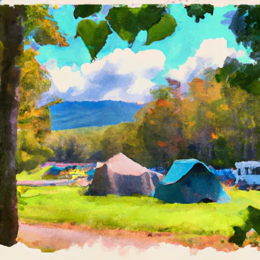 Moosalamoo Campground
|
||
 Moosalamoo
|
||
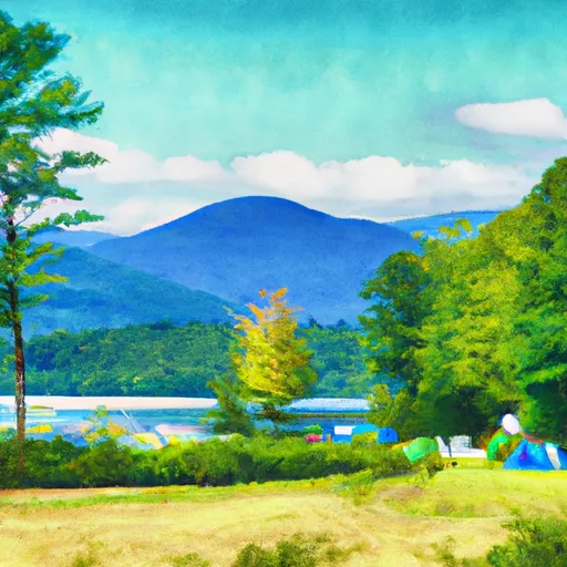 Lake Dunmore Kampersville
|
||
 Branbury State Park
|
||
 Silver Lake Campground
|


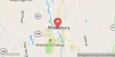
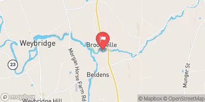
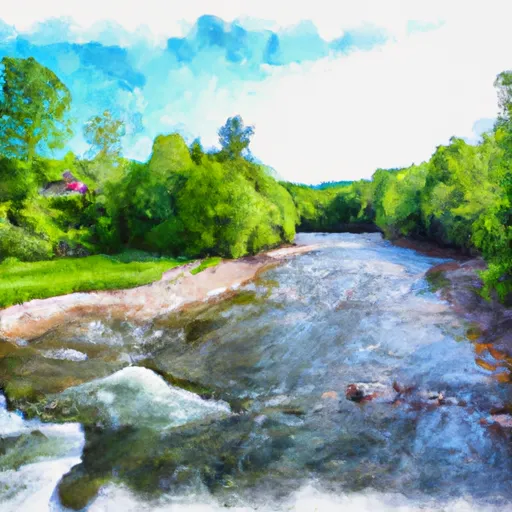 Confluence With Alder Creek To Confluence With Middlebury River
 Proclamation Boundary To Proclamation Boundary
 Headwaters To End Of Fs Road 243
 Headwaters To Folsom Brook
 End Of Fs Road 243 To Neshobe River
 Wilderness Breadloaf
 Branbury State Park
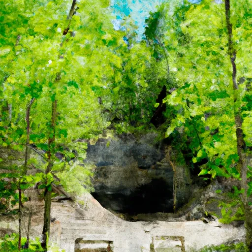 Weybridge Cave Natural Area State Park
 Wilderness Joseph Battell