Jefferson Nf Boundary (Above Cascades Fall) To Jefferson Nf Boundary (Below Cascades Fall) Paddle Report
Last Updated: 2026-02-07
The Whitewater River Run in Jefferson National Forest, Virginia is a classic whitewater experience for advanced kayakers and canoeists with a preferred streamflow range of 300-700 cfs.
Summary
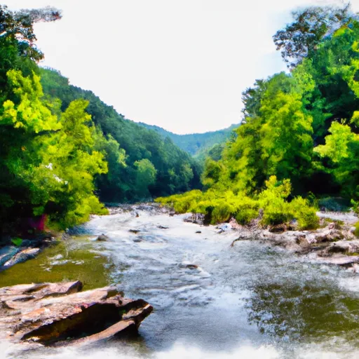
The segment mileage is around 5.5 miles from Jefferson NF boundary (above Cascades Fall) to Jefferson NF boundary (below Cascades Fall) with a class rating of III-IV. The rapids on this river are continuous and technical, requiring precise maneuvering and quick reflexes. Some of the notable rapids include The Cascades, Greenwall, and No Name. Obstacles include steep drops, tight turns, and shallow boulder gardens. The river is surrounded by a lush forest with stunning waterfalls and wildlife sightings. The area is regulated by the Jefferson National Forest, and visitors are required to follow Leave No Trace principles and obtain a permit for overnight camping. It is also recommended to wear a helmet, PFD, and cold weather gear. The area is a popular destination for outdoor enthusiasts, and visitors are encouraged to respect the environment and other river users.
°F
°F
mph
Wind
%
Humidity
15-Day Weather Outlook
River Run Details
| Last Updated | 2026-02-07 |
| River Levels | 174 cfs (3.77 ft) |
| Percent of Normal | 17% |
| Status | |
| Class Level | None |
| Elevation | ft |
| Streamflow Discharge | cfs |
| Gauge Height | ft |
| Reporting Streamgage | USGS 03173000 |
5-Day Hourly Forecast Detail
Nearby Streamflow Levels
 Walker Creek At Bane
|
1280cfs |
 New River At Glen Lyn
|
12700cfs |
 New River At Radford
|
8060cfs |
 Wolf Creek Near Narrows
|
1220cfs |
 Roanoke River At Lafayette
|
492cfs |
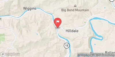 Greenbrier River At Hilldale
|
816cfs |
Area Campgrounds
| Location | Reservations | Toilets |
|---|---|---|
 White Rocks Campground
|
||
 White Rocks
|
||
 Boley Field Group Campground
|
||
 Camp Tuk-A-Way
|


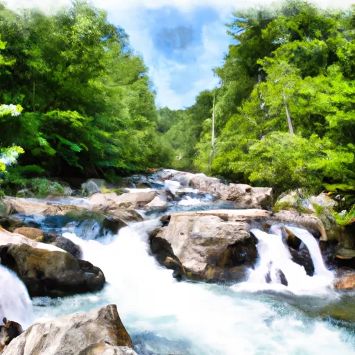 Jefferson Nf Boundary (Above Cascades Fall) To Jefferson Nf Boundary (Below Cascades Fall)
 Jefferson Nf Boundary Near Confluence With Nettle Hollow To Confluence With Laurel Branch
 Wilderness Wilderness
 Wilderness Peters Mountain
 Clover Hollow State Natural Area Preserve
 Niday Place State Forest
 Wilderness Brush Mountain