Summary
This section of river runs from the confluence with Nettle Hollow to the confluence with Laurel Branch, covering a distance of approximately 7.5 miles.
The ideal streamflow range for this section of river is between 300 and 800 cubic feet per second (cfs). At lower flows, the river can be too shallow and rocky to navigate safely, while at higher flows, the rapids become more challenging and dangerous.
The class rating for this section of river ranges from Class II to Class III, with several challenging rapids and obstacles along the way. Some notable rapids include Baby Falls, Pinball, and S-Turn.
There are specific regulations that apply to this area, including restrictions on camping and fires. Visitors are also required to obtain a permit before using the river, which can be obtained from the Forest Service office.
In summary, the Whitewater River Run is a thrilling and challenging section of river that requires careful planning and preparation. With an ideal streamflow range of 300-800 cfs, a class rating of II-III, and several notable rapids and obstacles, this section of river is a must-visit for experienced whitewater enthusiasts.
°F
°F
mph
Wind
%
Humidity
15-Day Weather Outlook
River Run Details
| Last Updated | 2026-02-07 |
| River Levels | 174 cfs (3.77 ft) |
| Percent of Normal | 17% |
| Status | |
| Class Level | ii-iii |
| Elevation | ft |
| Streamflow Discharge | cfs |
| Gauge Height | ft |
| Reporting Streamgage | USGS 03173000 |
5-Day Hourly Forecast Detail
Nearby Streamflow Levels
 Walker Creek At Bane
|
1280cfs |
 New River At Glen Lyn
|
12700cfs |
 Wolf Creek Near Narrows
|
1220cfs |
 New River At Radford
|
8060cfs |
 Greenbrier River At Hilldale
|
816cfs |
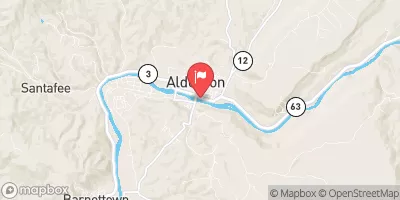 Greenbrier River At Alderson
|
347cfs |
Area Campgrounds
| Location | Reservations | Toilets |
|---|---|---|
 White Rocks Campground
|
||
 White Rocks
|
||
 Camp Tuk-A-Way
|
||
 Boley Field Group Campground
|


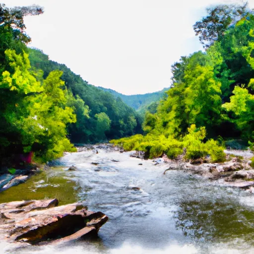 Jefferson Nf Boundary Near Confluence With Nettle Hollow To Confluence With Laurel Branch
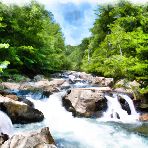 Jefferson Nf Boundary (Above Cascades Fall) To Jefferson Nf Boundary (Below Cascades Fall)
 Cascades Recreational Area
 Wilderness Peters Mountain
 Clover Hollow State Natural Area Preserve
 Niday Place State Forest
 Wilderness Brush Mountain