Summary
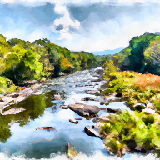
The ideal streamflow range for this segment is between 300-800 cubic feet per second (cfs). This range provides a moderate to challenging experience for kayakers and offers ample opportunities for surfing and playboating. The segment covers 7.8 miles of the river and is rated as Class II-IV rapids, making it ideal for intermediate to advanced kayakers.
The rapids in this segment include "The Maze," "The Slide," "The Ledges," and "The S-Turn." The Maze is a class III rapid that features a series of boulder gardens and tight turns that require precise maneuvering. The Slide is a class IV rapid that features a steep drop with a large boulder at the bottom that creates a hydraulic. The Ledges are a series of class II-III rapids that require careful navigation through narrow chutes and channels. The S-Turn is a class III rapid that features a sharp turn and a series of boulder gardens.
The regulations for this area require that all kayakers wear a personal flotation device (PFD) and a helmet while on the river. Additionally, all kayakers must have a whistle and a throw bag. The use of alcohol and drugs is strictly prohibited while on the river. Camping is only permitted in designated areas, and all trash must be packed out.
Overall, the Whitewater River Run Segment B offers a thrilling kayaking experience for intermediate to advanced kayakers with its challenging rapids and narrow channels. It is important to follow all regulations and safety guidelines to ensure a safe and enjoyable experience on the river.
°F
°F
mph
Wind
%
Humidity
15-Day Weather Outlook
River Run Details
| Last Updated | 2026-02-07 |
| River Levels | 21 cfs (4.12 ft) |
| Percent of Normal | 10% |
| Status | |
| Class Level | ii-iv |
| Elevation | ft |
| Streamflow Discharge | cfs |
| Gauge Height | ft |
| Reporting Streamgage | USGS 02011470 |
5-Day Hourly Forecast Detail
Nearby Streamflow Levels
 Back Creek At Sunrise
|
400cfs |
 Little Back Creek Near Sunrise
|
19cfs |
 Back Creek Near Sunrise
|
56cfs |
 Back Creek Near Mountain Grove
|
51cfs |
 Jackson River Near Bacova
|
52cfs |
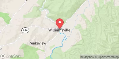 Bullpasture River At Williamsville
|
424cfs |
Area Campgrounds
| Location | Reservations | Toilets |
|---|---|---|
 Bird Run
|
||
 Hidden Valley Recreation Area
|
||
 Seneca State Forest
|
||
 Blowing Springs
|
||
 Blowing Springs Campground
|
||
 Pocahontas Campground
|
River Runs
-
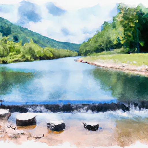 Segment B--Pump Storage Lake To Blowing Springs Campground
-
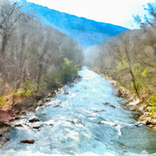 Segment B--Northern Boundary, Hidden Valley Tract To Southern Boundary Of Hidden Valley Tract
-
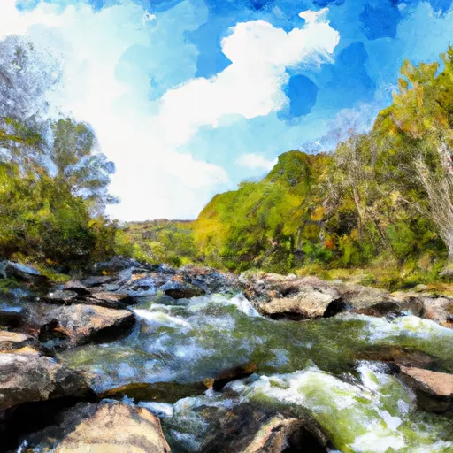 Segment C--Southern Boundary Hidden Valley Tract To Mcclintic Bridge
-
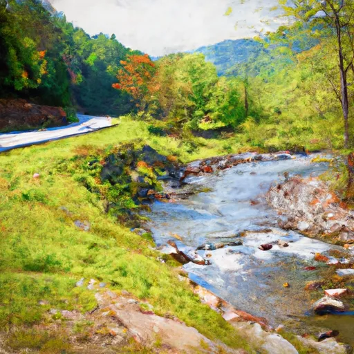 Segment A--State Route 39 At Blowing Springs Campground To Lake Moomaw
-
 Ford Where Route 609 Departs From Route 678 To Confluence With Cowpasture River

