Summary
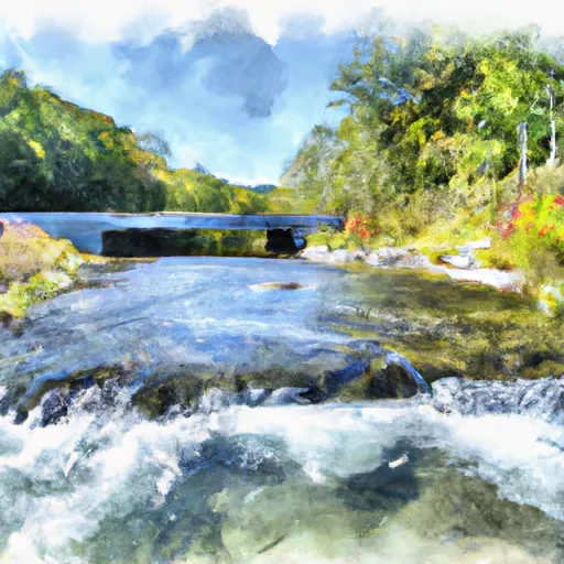
This segment is about 8.5 miles long and is rated as class III-IV. The ideal streamflow range for this segment ranges from 300-1000 cfs, but can be done up to 1200 cfs depending on skill level and experience.
There are several notable rapids and obstacles in this section of the river, including the "Razorback," "Staircase," and "Big Falls." The Razorback is a technical rapid that requires precise maneuvering through a series of rocks and drops, while the Staircase is a long and continuous rapid that requires careful navigation through several ledges. The Big Falls is a 12-foot drop that is sure to provide a thrilling experience for kayakers and rafters alike.
It is important to note that this section of the Whitewater River is subject to specific regulations and restrictions. For instance, camping is not allowed within 300 feet of the river, and all visitors are required to pack out their trash. Additionally, all kayakers and rafters must wear a personal flotation device (PFD) and a helmet while on the river.
Overall, the Whitewater River Run Segment B is a challenging and exciting river run that is suitable for experienced kayakers and rafters. With its ideal streamflow range, class rating, specific river rapids and obstacles, and regulations, this segment of the Whitewater River is sure to provide an unforgettable experience for all who attempt it.
°F
°F
mph
Wind
%
Humidity
15-Day Weather Outlook
River Run Details
| Last Updated | 2026-02-05 |
| River Levels | 7 cfs (3.07 ft) |
| Percent of Normal | 38% |
| Status | |
| Class Level | iii-iv |
| Elevation | ft |
| Streamflow Discharge | cfs |
| Gauge Height | ft |
| Reporting Streamgage | USGS 01635500 |
5-Day Hourly Forecast Detail
Nearby Streamflow Levels
Area Campgrounds
River Runs
-
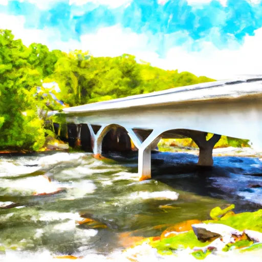 Segment B--State Route 730 Bridge To Nf Boundary
-
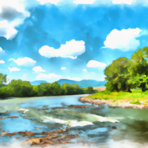 Segment C--Nf Boundary To Confluence With North Fork Shenandoah River
-
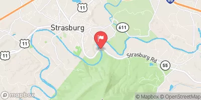
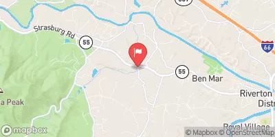
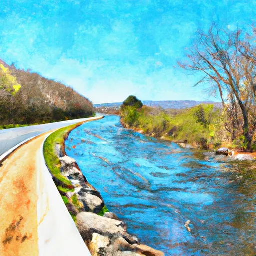 State Route 675 At Edinburg, Va To State Highway 55 Southeast Of Strasburg, Va
-
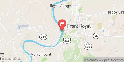
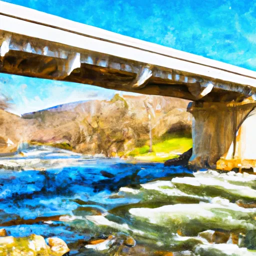 Bixler Bridge On State Route 675 To Karo Landing, Approximately 6 Miles South Of Town Of Front Royal
-
 Headwaters Adjacent To Fdt 573 To State Route 622 Bridge


 Elizabeth Furnace
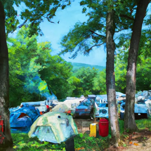 Elizabeth Furnace Family Campground
 Mudhole Gap Camping
 Little Crease Shelter
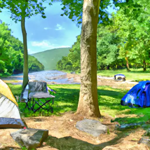 Shenandoah River - Guest State Park
 Commercial Campground
 Strasburg Trail Strasburg
 Ed Stump Playground
 Happy Creek Park
 Ogdens Cave State Natural Area Preserve