Summary
The ideal streamflow range for this segment is between 400-1500 cfs, with the higher end of the range providing a more challenging and exciting experience.
The segment is characterized by several notable rapids, including "The Ledge," "The Notch," and "The Chute," which require skilled maneuvering and precise navigation. Other notable obstacles include several large boulders and fallen trees, which add to the technical challenge of the run.
In terms of regulations, the Virginia Department of Game and Inland Fisheries requires all boaters to have a valid Virginia Boater Safety Education Card. Additionally, all boaters are required to wear a US Coast Guard approved personal flotation device (PFD) at all times while on the water.
Overall, the Whitewater River Run Segment B is a challenging and exhilarating run that requires skill and experience to navigate safely. Boaters should be prepared for technical rapids and obstacles, and ensure they are in compliance with all regulations before embarking on the run.
°F
°F
mph
Wind
%
Humidity
15-Day Weather Outlook
River Run Details
| Last Updated | 2026-02-07 |
| River Levels | 116 cfs (1.52 ft) |
| Percent of Normal | 12% |
| Status | |
| Class Level | iii-iv |
| Elevation | ft |
| Streamflow Discharge | cfs |
| Gauge Height | ft |
| Reporting Streamgage | USGS 02016000 |
5-Day Hourly Forecast Detail
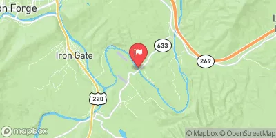
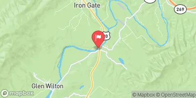
Nearby Streamflow Levels
Area Campgrounds
| Location | Reservations | Toilets |
|---|---|---|
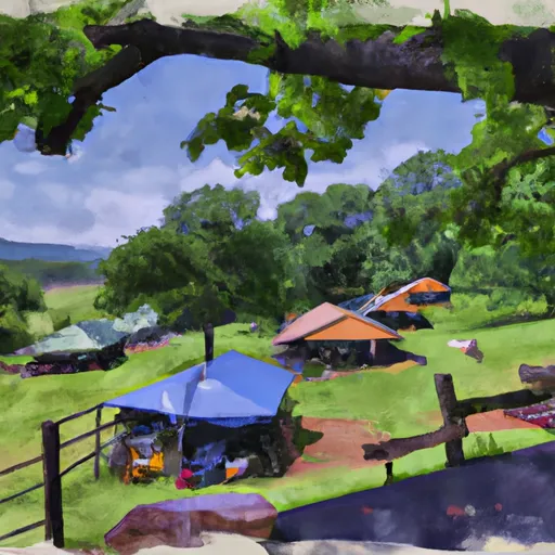 Camp Nimrod
|
||
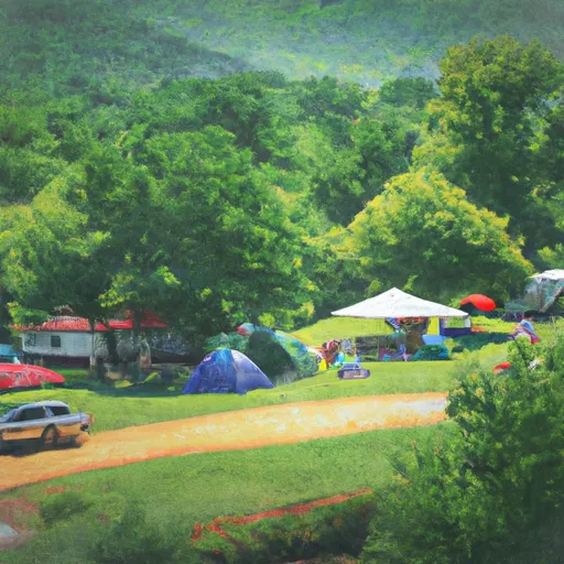 serenity
|
||
 Morris Hill Campground
|


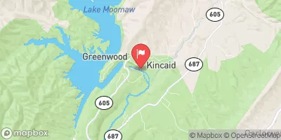
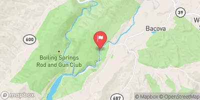
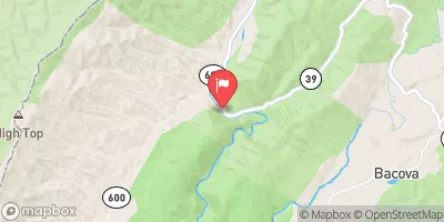
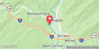
 Douthat State Park Road Bath County
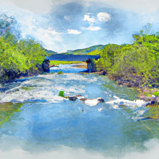 Segment B--Confluence With Bullpasture River To Route 42 Bridge
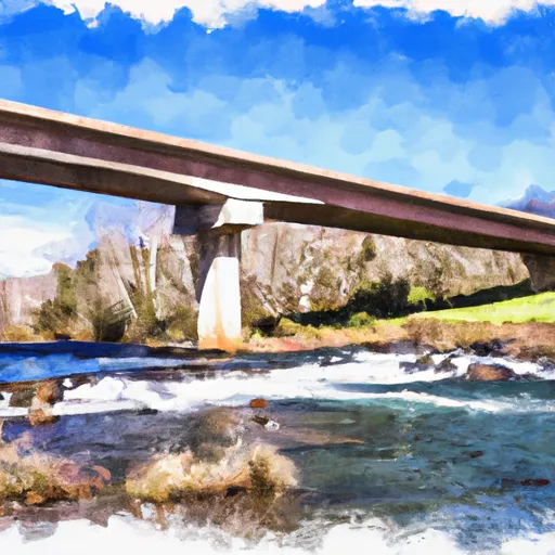 Segment A--Route 42 Bridge To Confluence With Jackson River
 Douthat State Park
 Wilderness Rich Hole
 Lake Robertson Park
 Moores Creek State Forest